I’m not really sure why, but for the last year or so, I’ve done almost no overnight tramping. I’ve been on a couple, sure—but mostly with Max’s school adventure racing team or on LandSAR exercises. What I have done, though, is a bunch of day hikes. Some very local, some almost local (like East Harbour Regional Park), and a handful out in the Tararua foothills.
To save a long drive from Wellington, I’ve been favouring trips that start from the Kiwi Ranch entrance. That’s led to a few good loops: up to the Tauwharenikau swing bridge and back via Marchant Stream and point •656; a one-way mission over to point •756 and down to Bucks Road in Featherston (followed by a hitch back to the Kaitoke side); and a trip in to check out the lower of the two Smith Creek waterfalls.
Of those three, it’s the waterfall walk I’d recommend the most. So here’s a quick lowdown on how to turn it into a fun and safe semi off-track adventure.
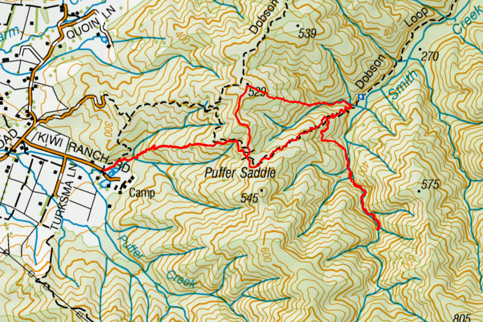
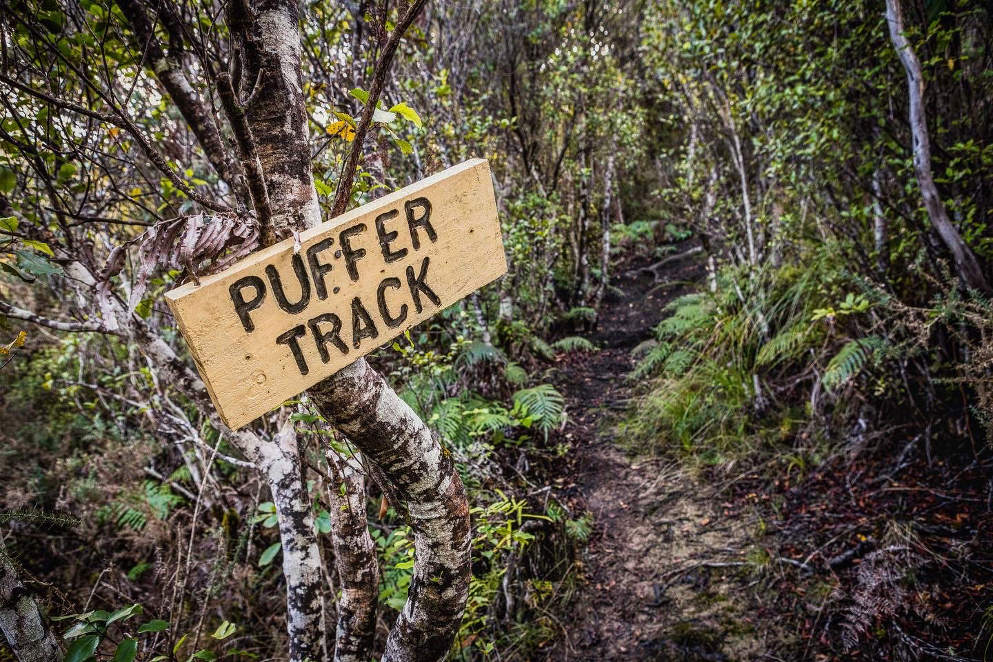
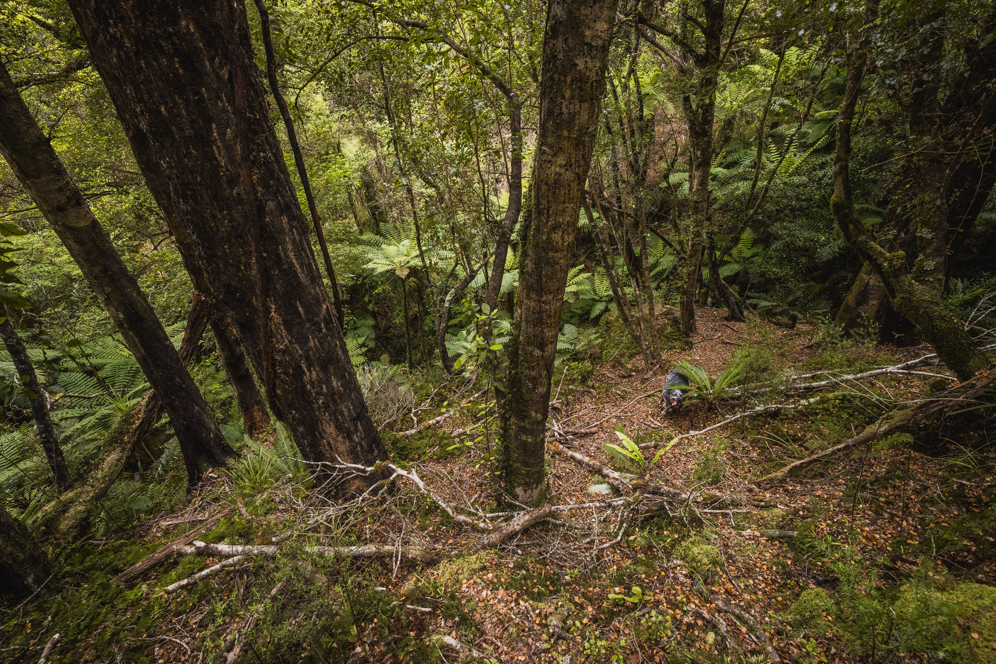
Ever since Barry Durant reopened the original track to Puffer Saddle from the Kiwi Ranch road end, it’s become my go-to. It’s a beautiful bit of bush—easy to follow, quicker, and with hardly any slippery clay to catch you out. The OG track joins the main Puffer Saddle track just a few minutes below the saddle itself.
From there, instead of heading down what might be the most uninspiring track in the hills, turn left (north) onto an old logging road. It’s easy to follow and eventually links up with the Dobsons Loop Track, but we’re not going that far. At point •529, head down a mellow spur to the southeast.
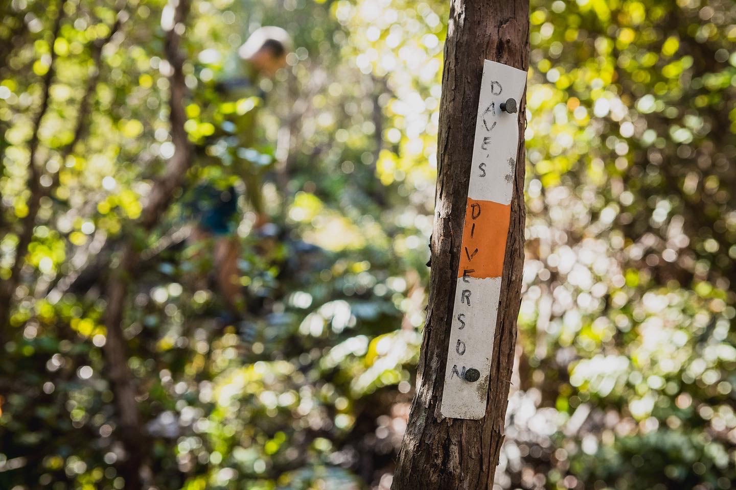
I stumbled across this spur by accident during a fun nav exercise. I’d planned to follow the ridge, but unexpectedly found a fully marked route—complete with a track name: Dave’s Diversion. It eventually drops you into a tributary of Smith Creek, and about 15 minutes later, you’ll meet up with the main track to Smith Creek Shelter.
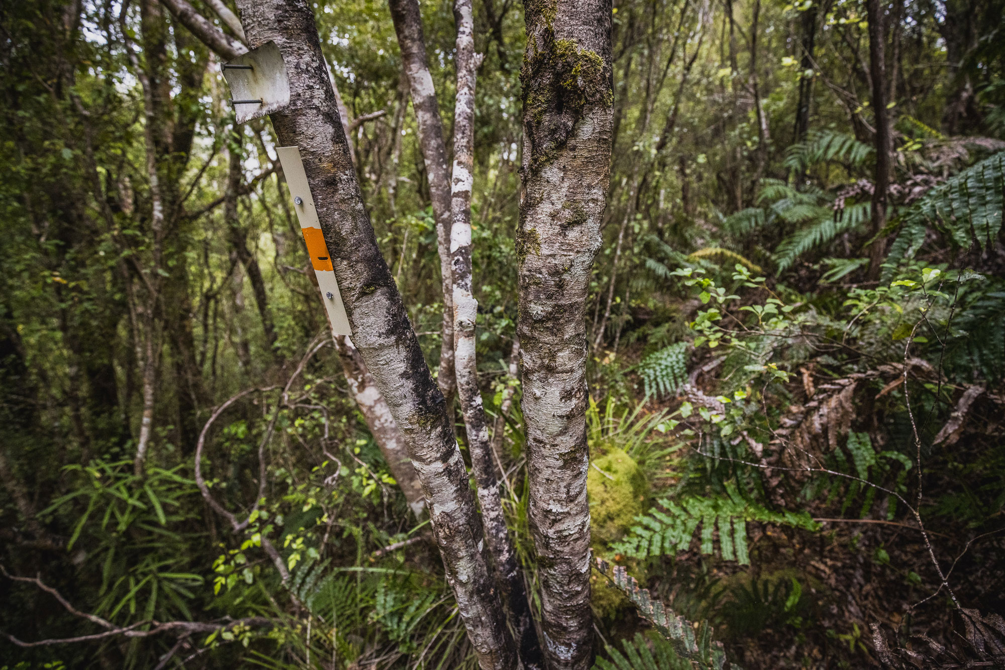
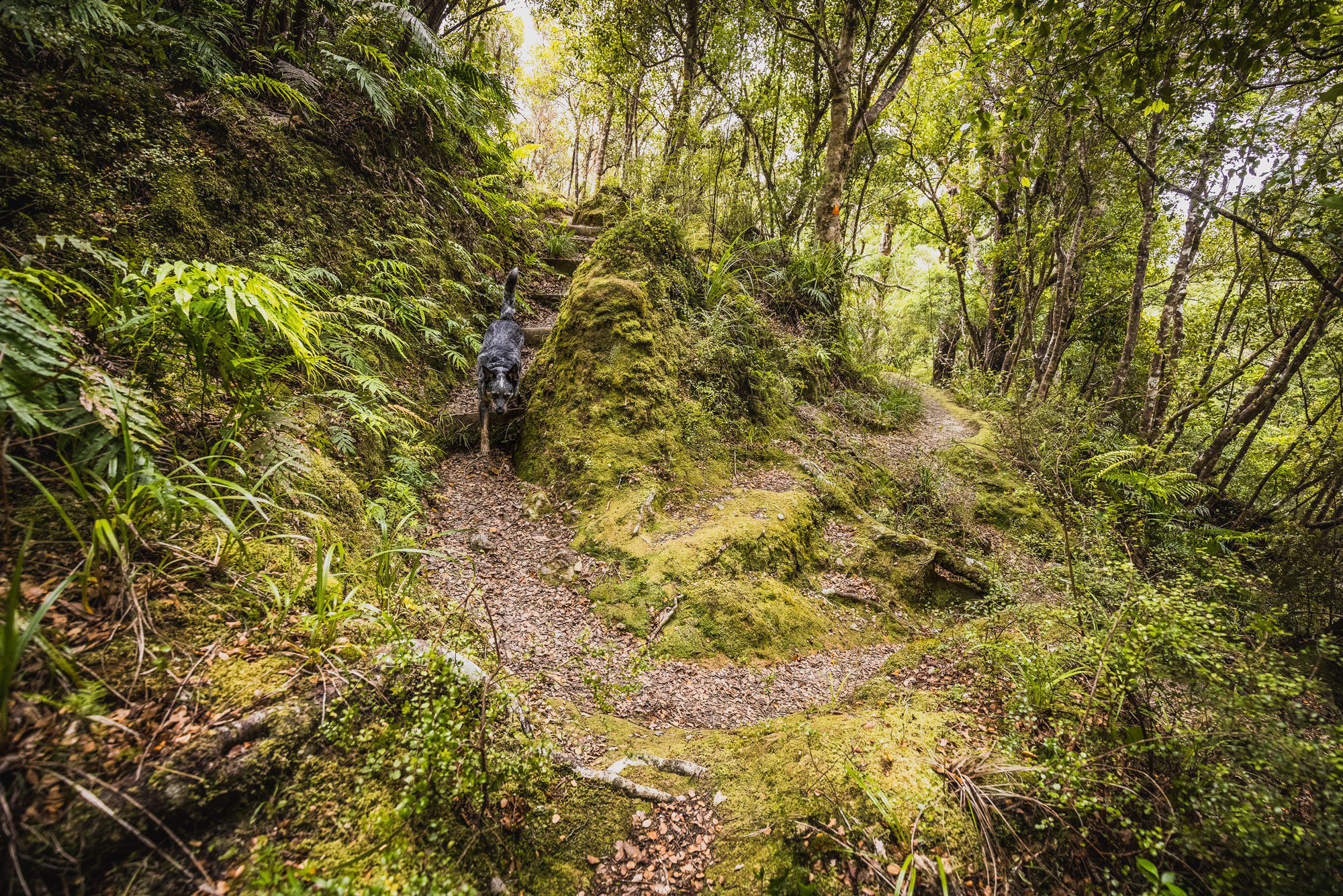
Now, head back up toward the Puffer until you hit the big hairpin corner around the 370m contour. If you look south from here, you should spot some matching Permolat signs—similar to those on Dave’s Diversion. There’s been a marked trail from this spot for years, but it wasn’t always easy to follow. Two TTC members re-marked the route last year, and it now connects cleanly with the upper reaches of Smith Creek.
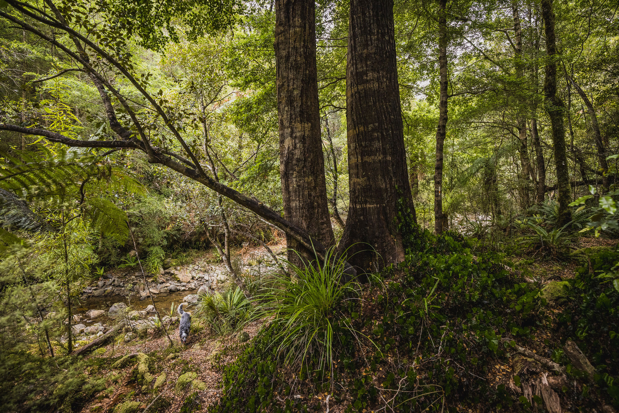
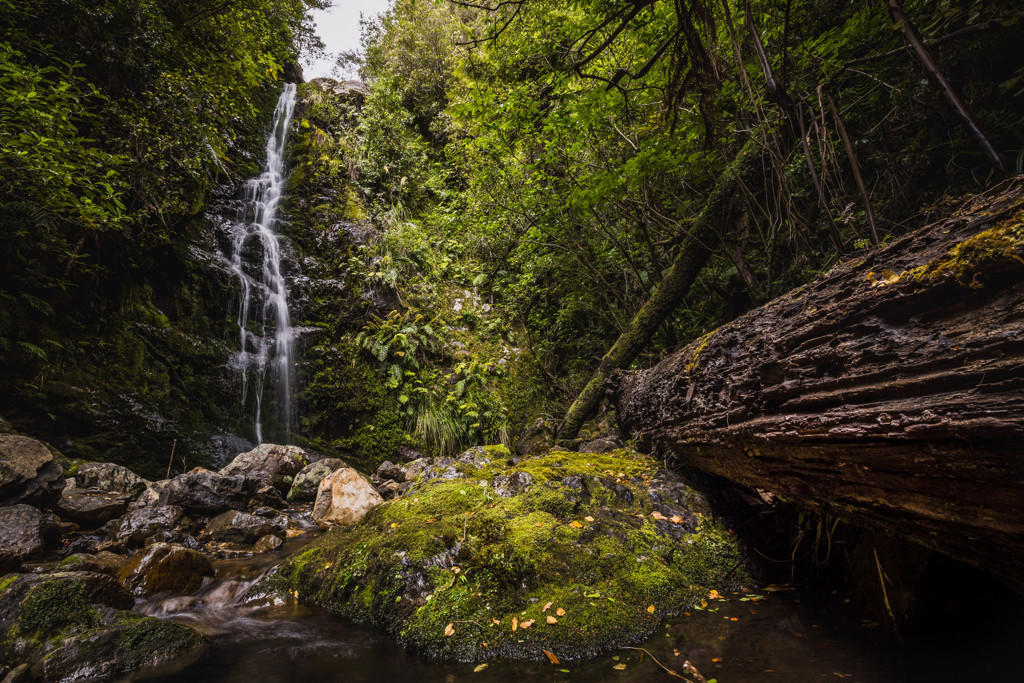
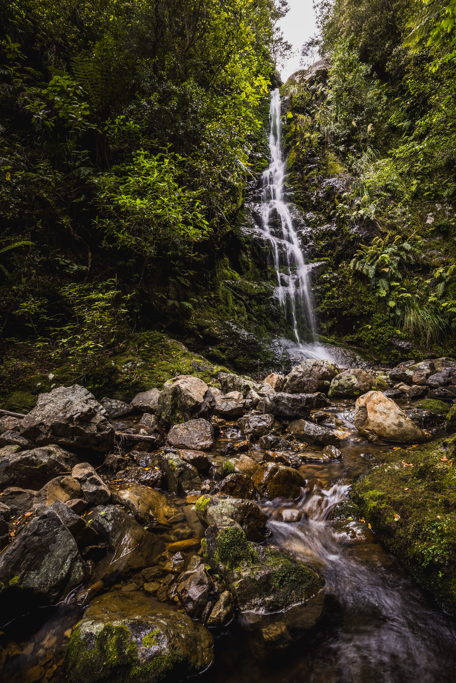
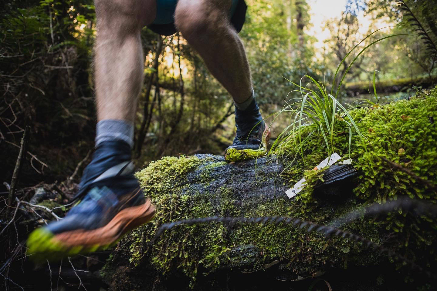
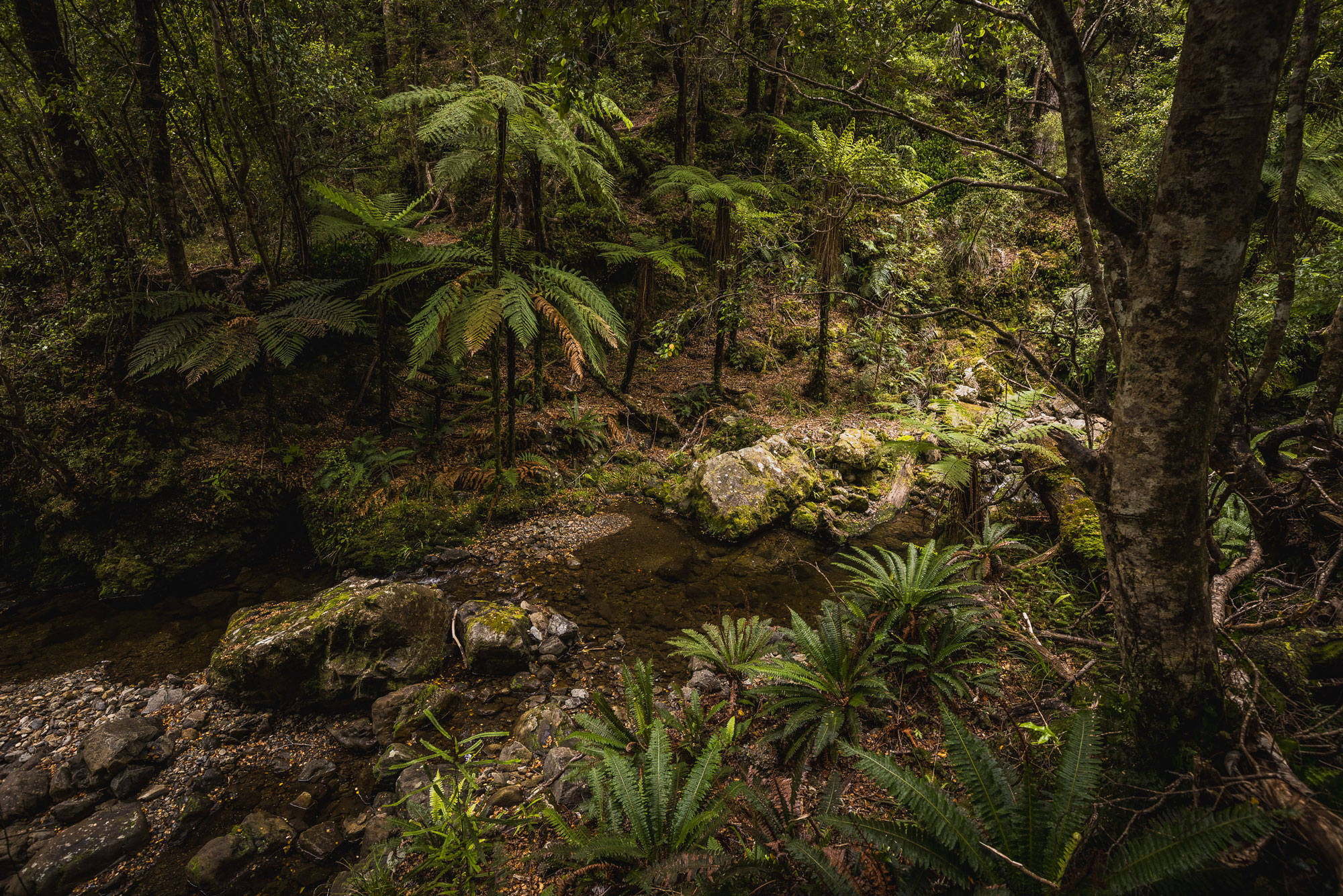
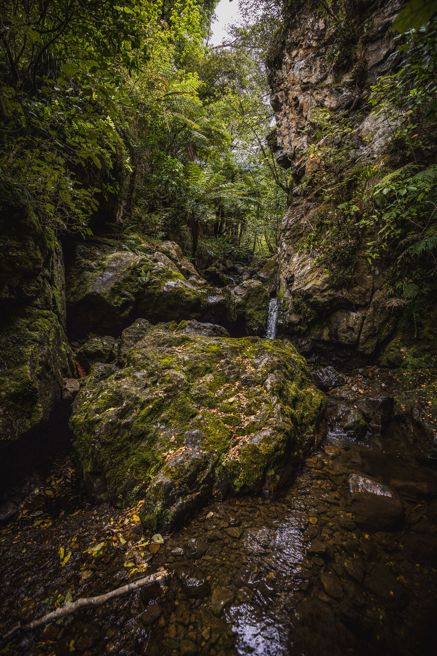
The trail drops about 50 metres as it siddles above the creek and eventually joins at roughly the 320m contour. From there, it’s a fun 1km walk upstream, gaining around 100 metres in elevation to reach the base of the lower Smith Creek Waterfall. There’s one or two tricky bits to negotiate and you shouldn’t need to leave the creek at all.
I’ve done this walk twice—once during the peak of summer when these photos were taken. The flow was low, but the falls were still impressive. I’ve also gone in after some decent rain, and while the walk in wasn’t much different, the waterfall itself was next level. (I only had an iPhone on that trip, so no good photos to share.)
Once you’ve had lunch, and taken a few snaps you just return the way you came and head back to the Puffer Saddle, remembering to take the OG track back to the carpark. With breaks and snacks, it’s about a four-hour round trip covering 17ish km and just under 600m of elevation.