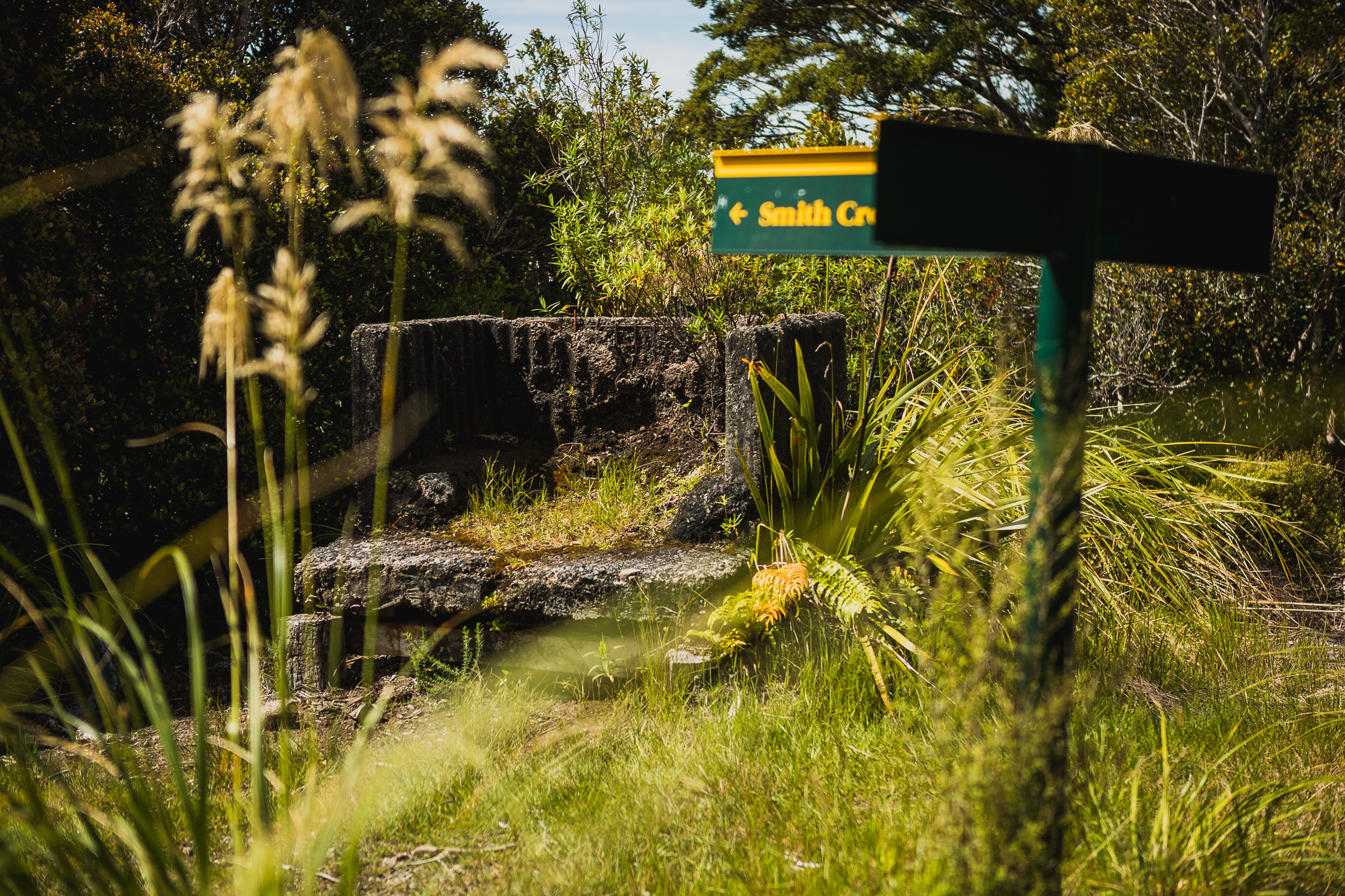
I’ve had my eye on a walk to Eastern Hutt Hut for a couple of years now. I’ve said it before, I love big day walks, and after doing Puta Puta Shelter both as an out-and-back and as a loop, along with Smith Creek Falls, I was looking for something else in the Kaitoke zone so I didn’t have to drive too far.
Last winter, on one truly miserable rainy day, I decided to give it a crack. The plan was to walk Marchant Ridge, drop down to the hut via the long northern ridge at •1038, visit the hut, then climb the steep ridge directly behind it back up to •1038 before heading back to the car. I definitely underestimated just how grim the weather would be. By the time I hit the 800 metre contour line, I did the maths and decided I didn’t want to be that wet for that long. With my tail between my legs, Olive and I turned around and headed back to the car, very wet.
I knew if I was going to try again, it would be on a sunny, windless day, and I’d make it a proper loop. The idea was to read down the Eastern Hutt River to the bottom of Quoin Ridge, then climb back out via the Norbert Creek loop, hopefully hitching a lift back to the car at the bottom of the Puffer. It seemed straightforward enough.
A couple of weeks ago, the weather aligned, briefly, and I got my sunny, beautiful day. Normally, when I know I’ve got off-track travel ahead of me, I opt for my Asolo boots. This time I wanted to move a bit quicker, so I went with sneakers, which would also make for a lighter, easier river walk. I didn’t regret it. Walking Marchant with a day pack and lightweight shoes makes it far more bearable.
After stopping for a snack at the old Dobson Hut site and taking a few photos at what’s left of the 1938 burn, I made it to •1038 in just under three hours. At that point, I was still planning to take the longer north ridge, which drops you out slightly upstream from the hut. In the back of my mind, though, I remembered that when my friend Jason did the loop recently, he’d come up behind the hut and found the travel up to be good (but steep). I figured, what the hell, and dropped directly down toward the hut.
I’m no shrinking violet, but since my rescue a few years back, I definitely take fewer risks than I used to. At around the 700 metre contour line, the steepness and looseness of the ridge became very real. I never felt in danger, and there were always trees and roots to hold onto, but it was right at the edge of what I’d now call comfortable. These days, I ask myself who I’d recommend routes to, and I’d be very selective about sending people down this way. The north ridge is still exciting but never feels as exposed, and I’d point people that way instead. Climbing up the route I descended would be much easier than coming down it, that’s for sure.
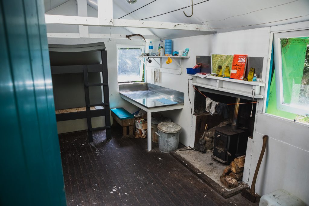
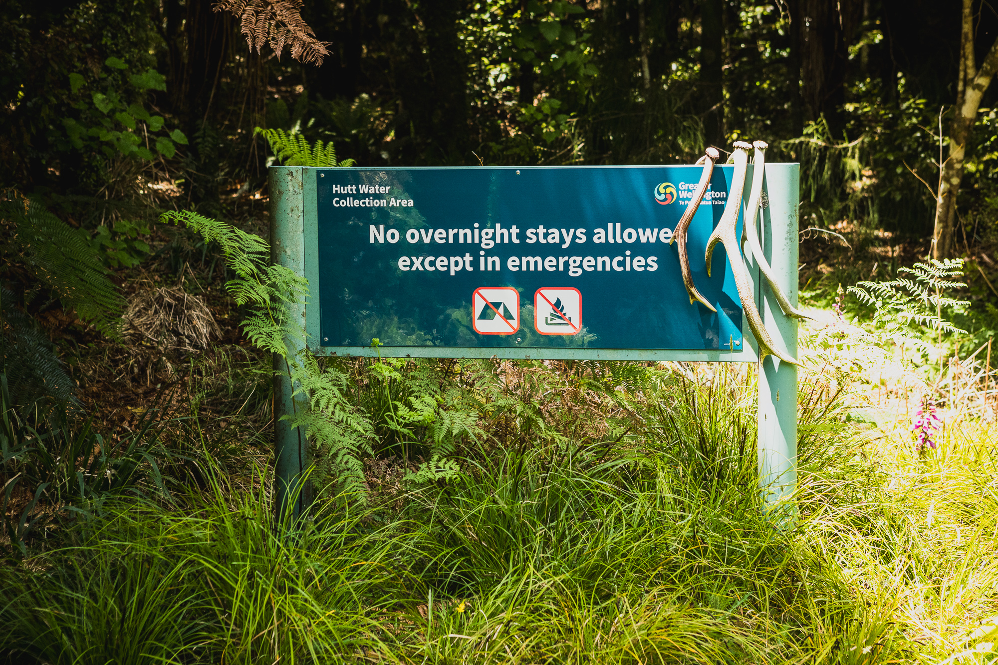
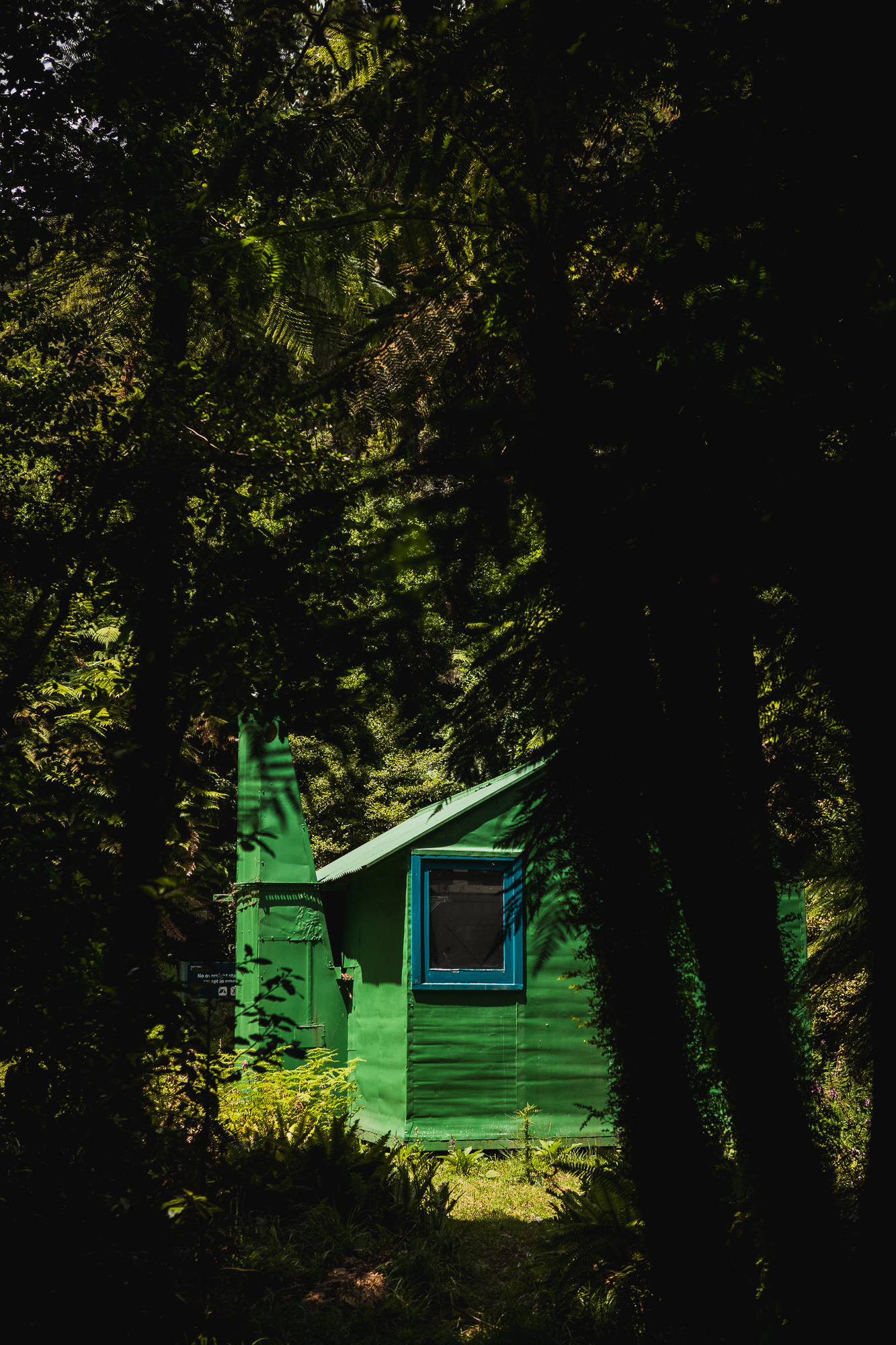
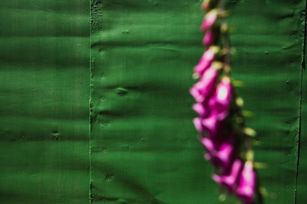
The 600 metre descent took around 45 minutes, and with some tidy navigation, I popped out almost directly on top of the hut. I’m not sure how long it’s been this way, but the hut is now painted in Greater Wellington colours and has an updated warning sign outside stating that no overnight stays are allowed except in emergencies. Eastern Hutt Hut sits outside the Tararua Forest Park and within the Greater Wellington water catchment. You’re allowed to visit, but not to camp or stay overnight. Built in 1962 by the NZ Forest Service as a standard six-bunk S70 hut, it’s been well looked after, complete with a new log burner and fresh mattresses.
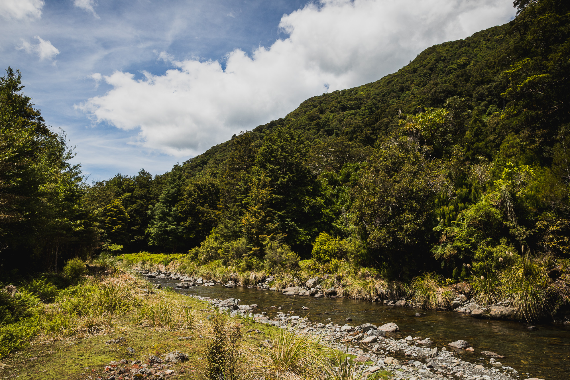
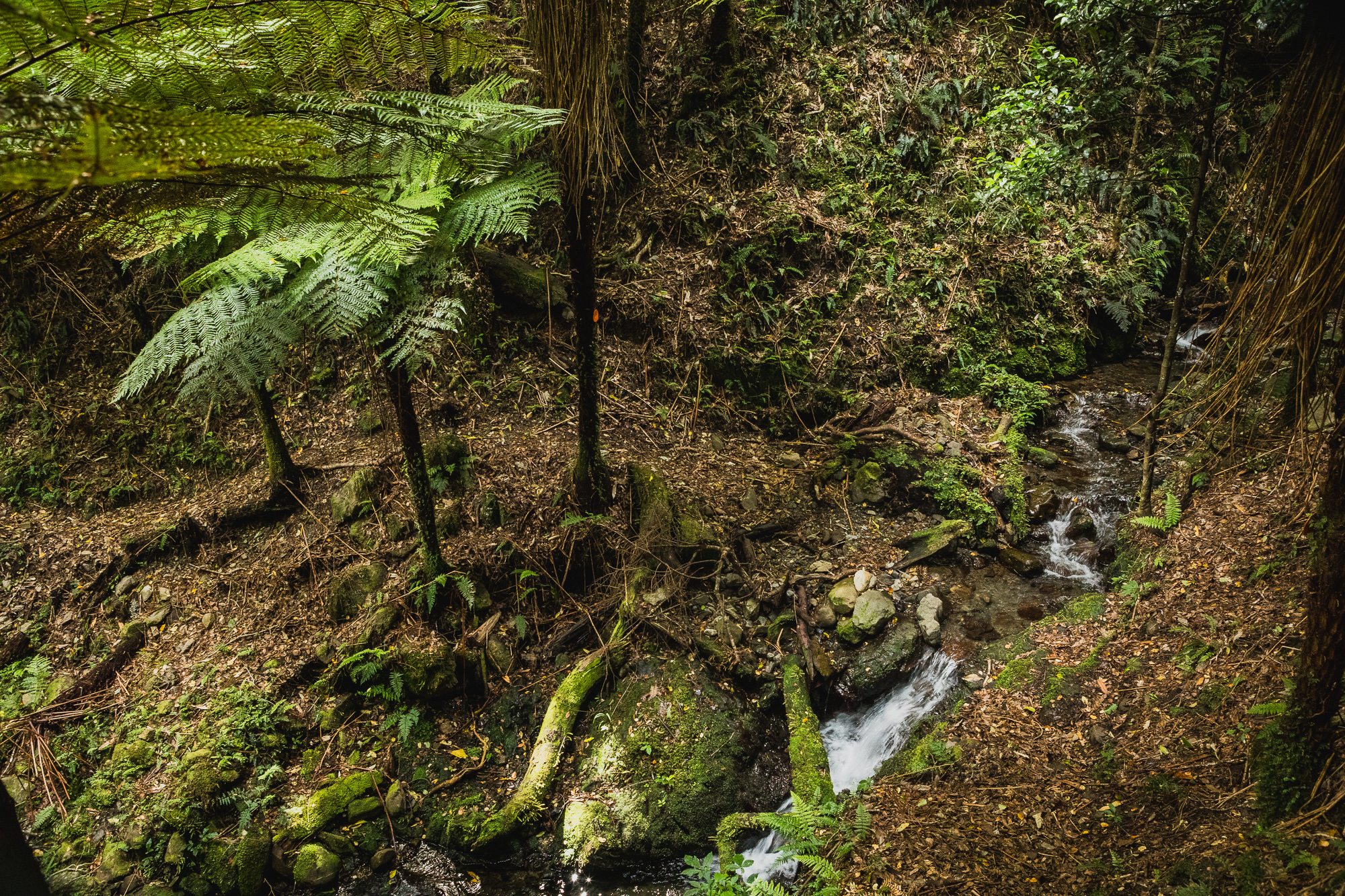
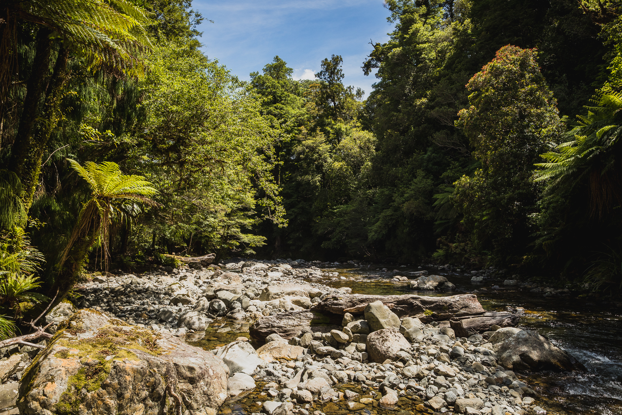
After a longer lunch, I made the refreshing trip down the Eastern Hutt River to the hydrology tower at Hutt Forks. The walk down the river is beautiful and, if you know where to look, the track pops in and out of the river for faster travel. It was a scorcher of a day, so the many crossings from bank to bank were very welcome.

When I reached the final gorge section above Hutt Forks, I had a choice. There’s another abrupt 300m climb out of the river that bypasses the lower gorge, or you can take the risk and swim some of the deeper pools. Not wanting any surprises, I opted for the climb, having done it before and knowing exactly what I was in for. Somehow, 300m never seemed so high. Down at the Eastern Hutt swing bridge, I debated walking up Phillips Stream and taking the direct ridge to •592, but knowing I still needed to hitch back to the car, I opted for the road climb instead.
I never did get picked up and ended up walking the full loop back to the car. Car to car, I was out there for about nine hours, with Strava showing roughly seven hours of moving time. It was a marvellous loop, filled with a wide range of ecosystems and terrain. I’d definitely do it again and would recommend it to anyone who genuinely enjoys a proper day walk.