Last weekend I drove up to Makahika Outdoor Centre for another LandSAR training course. I’ve discovered there are many, many LandSAR courses. Over the last two months, I’ve attended three. Anyway, as close as the course is to the Ohau catchment and the Tararua Forest, you can’t see anything. When fellow SAR member Glen and I left on Sunday afternoon, we were both blown away at the sight of the Tararua covered in snow. The sun was setting, the hills were golden, there was no wind, and Glen and I were in a car, driving away from the hills, not towards them!
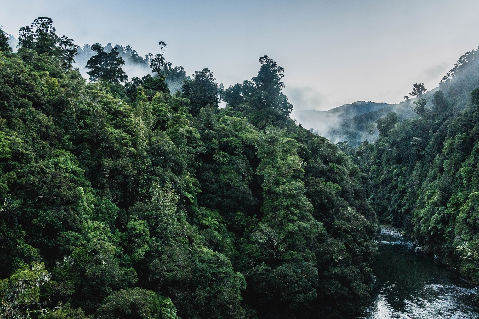
I didn’t want to miss another weather window like that, so I started plotting some viable day trips to the tops. I found a few tempting ones, but given how close we are to the shortest day of the year, and all the recent rain, I ruled a couple out. The one I landed on, mostly for its accessibility, barely counts as a tops trip. A 818m high point is not particularly high, and in most parts of the Tararua that’s still below the bushline.
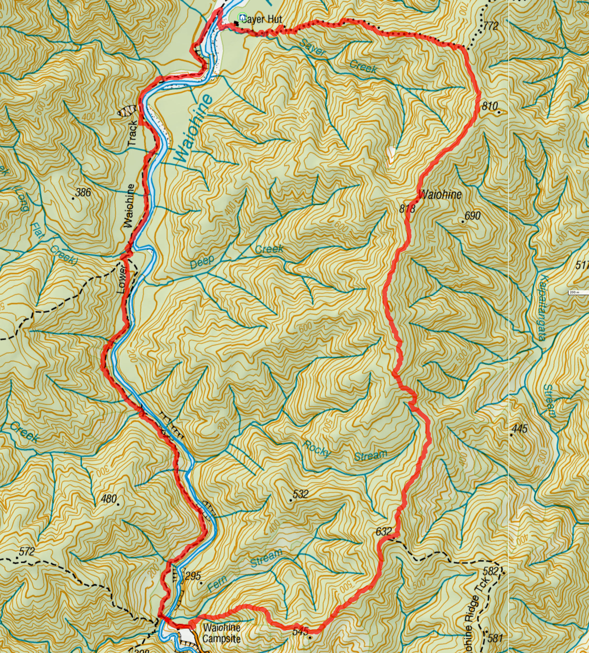
The route starts just behind the carpark at the end of Waiohine Gorge Road, climbing up to •545, then •632, and then on to Waiohine Peak. From there, the ridge is intersected by the Sayers Hut track, which leads down to Tōtara Flats. The route then heads back to the car park along the Waiohine River.
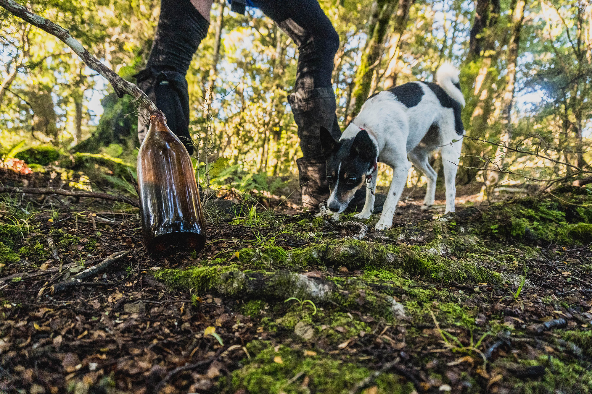
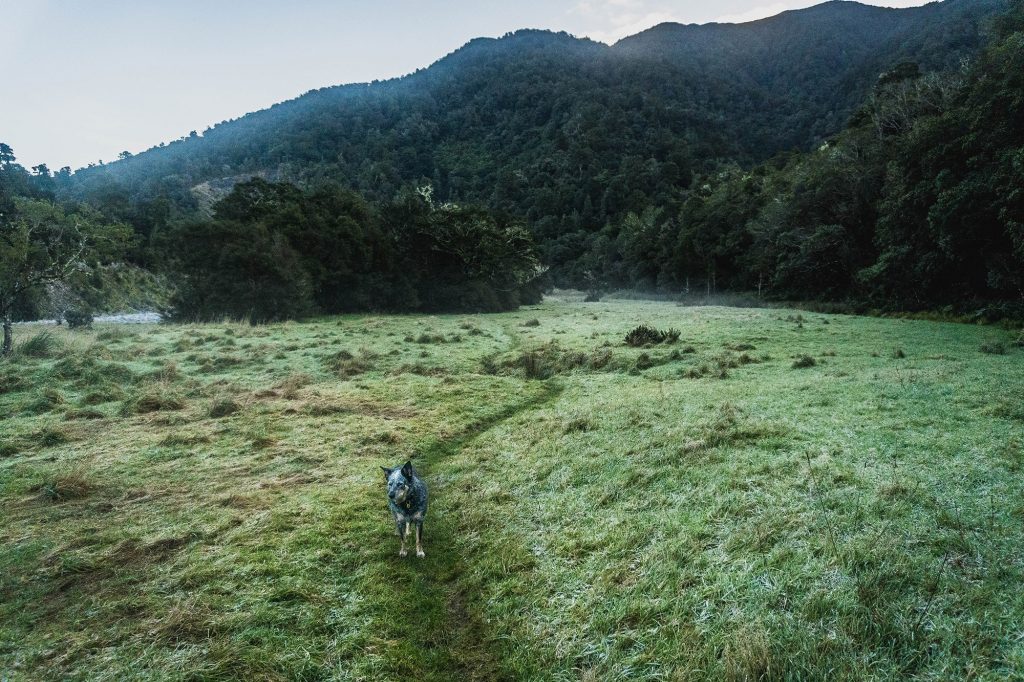
The forecast for Saturday and Sunday looked perfect; I just needed a couple of willing participants. Tim Park (along with his dog Winni) was keen and didn’t need any convincing. We left a little late after I slept through my alarm on Sunday morning, but by 8:15 a.m., we had boots on the ground and were heading steeply uphill just minutes later.
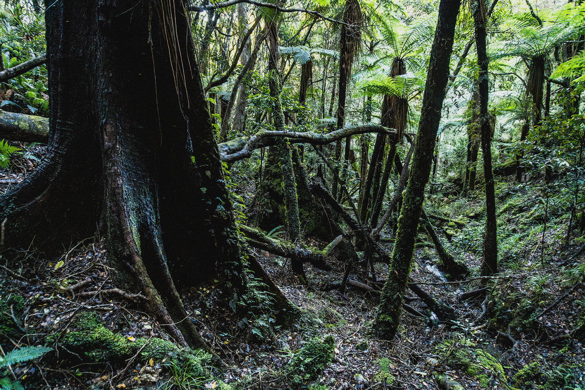
There are two ridges behind the Waiohine carpark, a gentler one to•532 and a steeper one to •545. Both are about the same length, and neither takes a direct line to the all-important •632. We crossed a small creek feeding Fern Stream and picked up a vague ground trail. A few minutes later, we found the remains of an old barbed wire fence, the perfect geographical handrail, as the trail follows it easterly up to a small plateau. The fence continues for another 200m before the short climb to •545 begins. From there, it’s quick, easy travel on a well-trodden trail through open bush to •632.
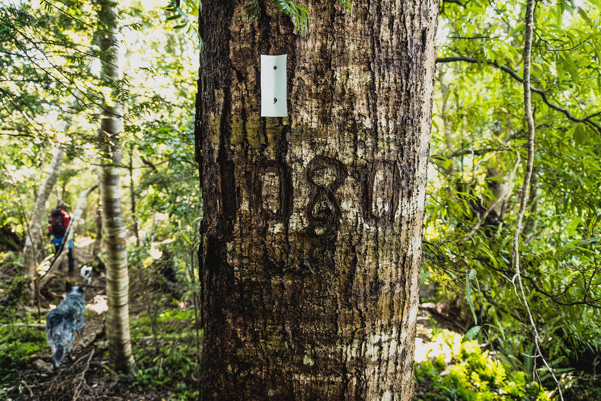
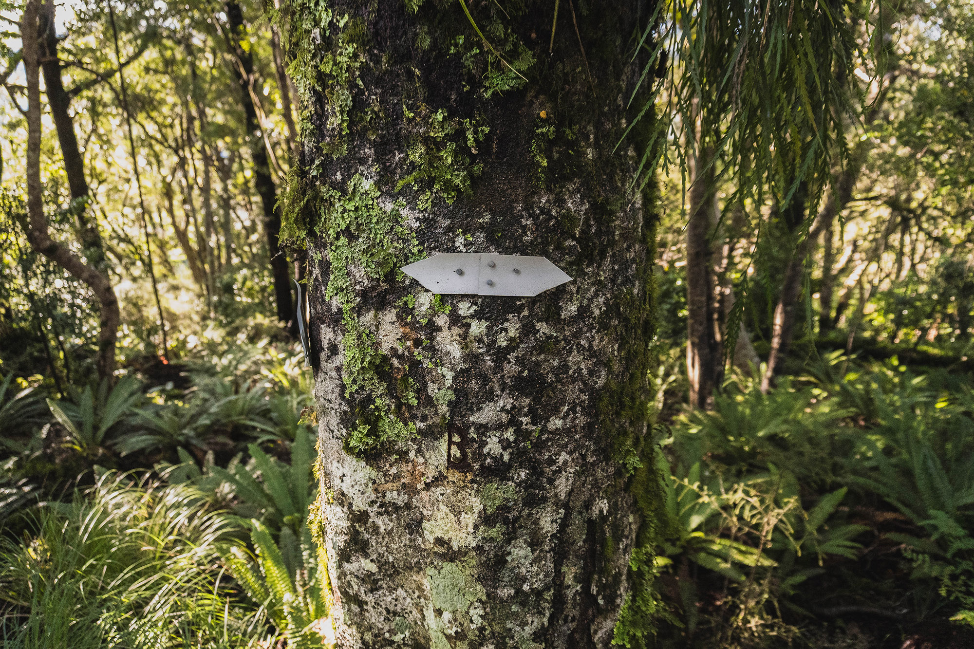
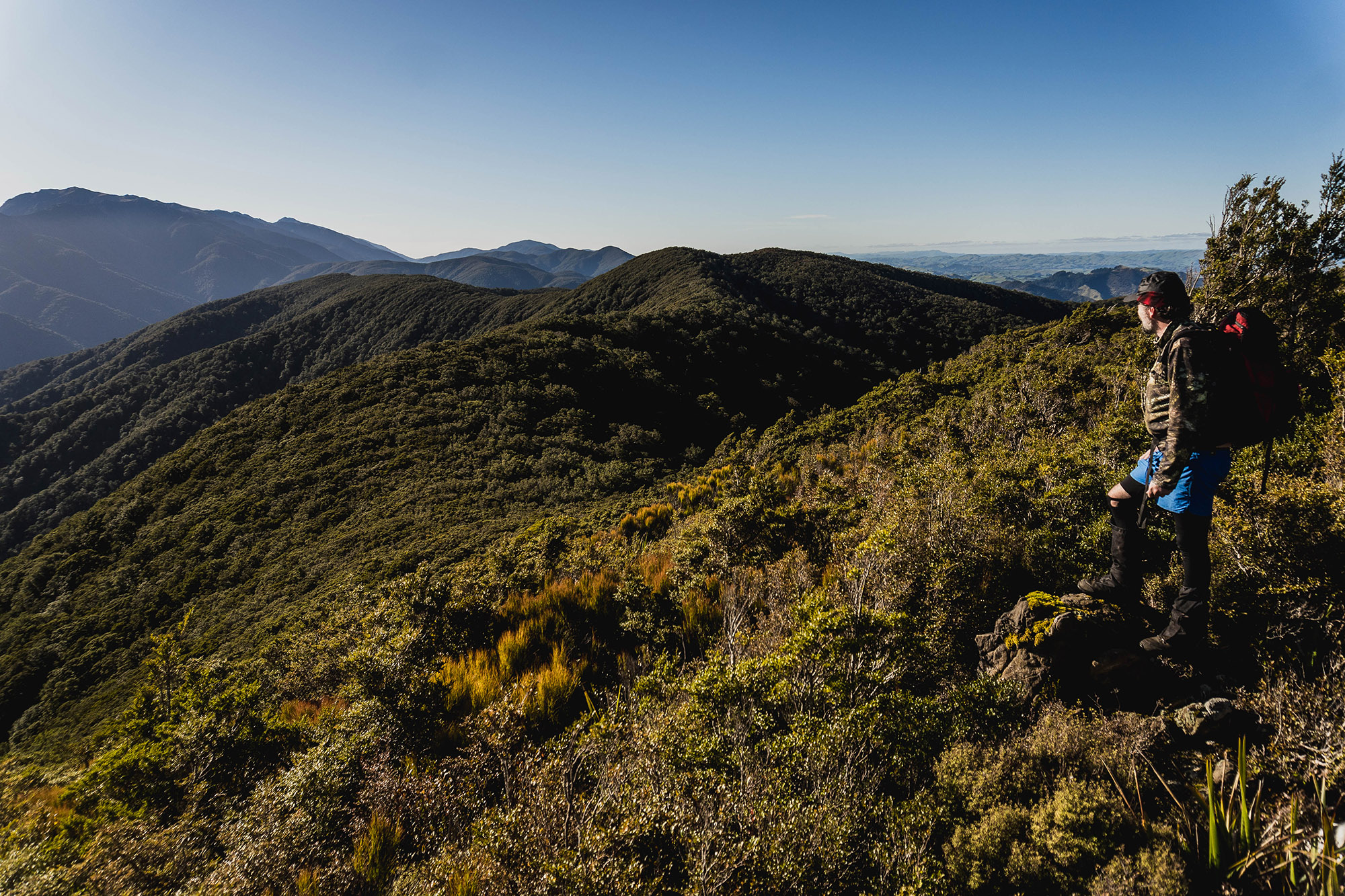
As you near the high point, permolat markers start appearing. There’s an obvious route junction at the top, where you’ve got a few choices: head north west and loop back to the car, head east to Mt. Dick via the Waiohine Ridge Track, or head north, which is what we did. The track starts with a few permolat markers, but they don’t last long. Fortunately, the ridge is well-defined, and the old ground trail is easy enough to relocate if you lose it. Now and then, TopoNZ confirmed our location.
Curiously, a well-marked track appears from the east at GR BP33 033 608. It’s not shown on any maps, and it looks like it drops into the Kaipaitangata Stream catchment near the end of Dalefield Road. One to explore another day.
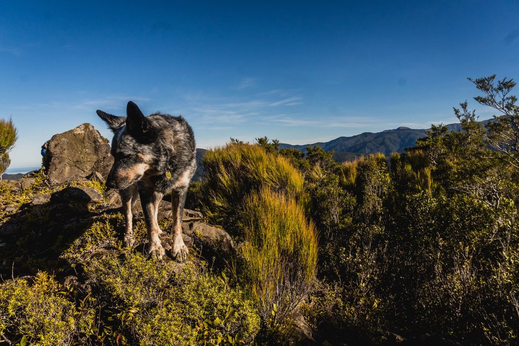
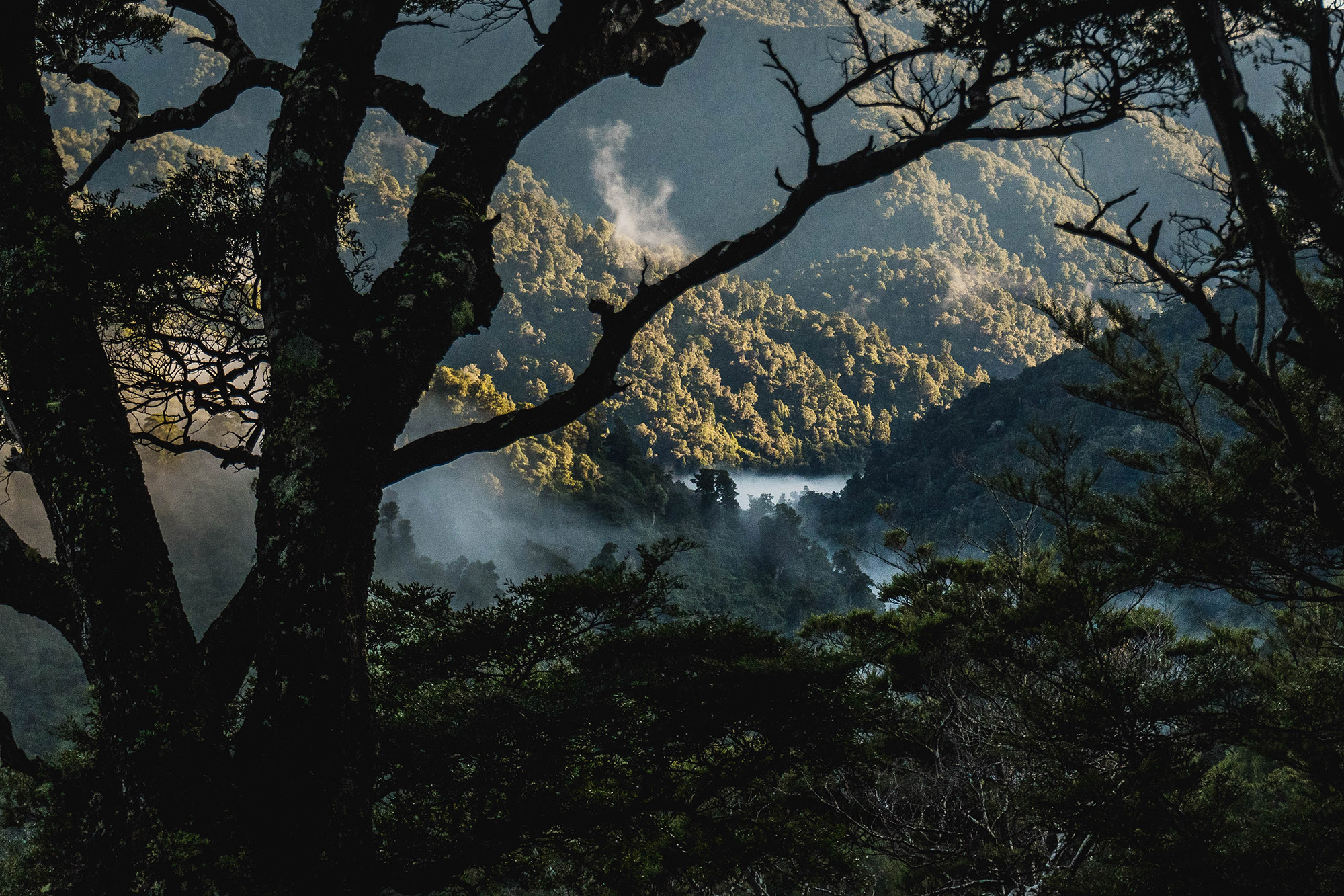
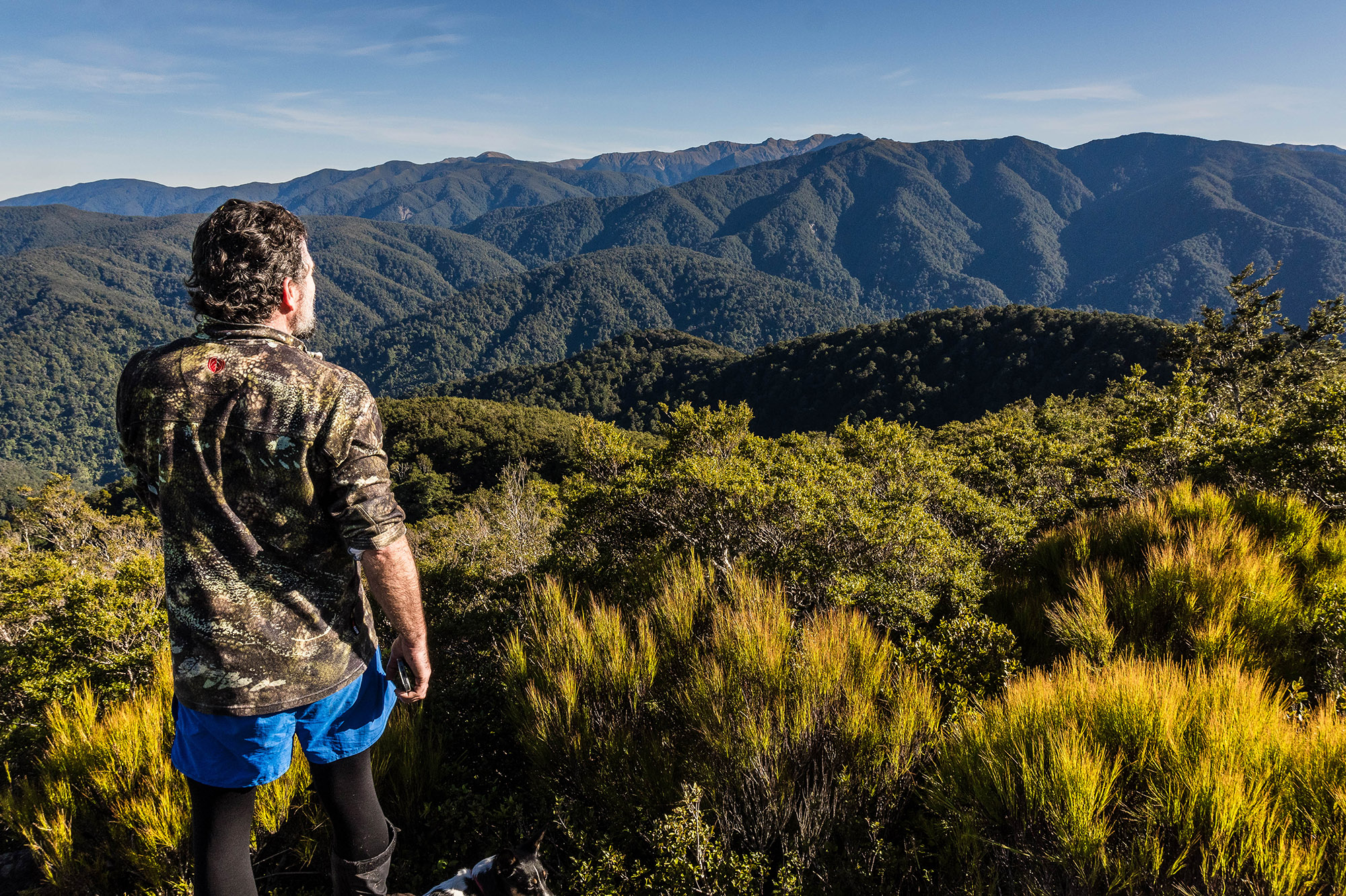
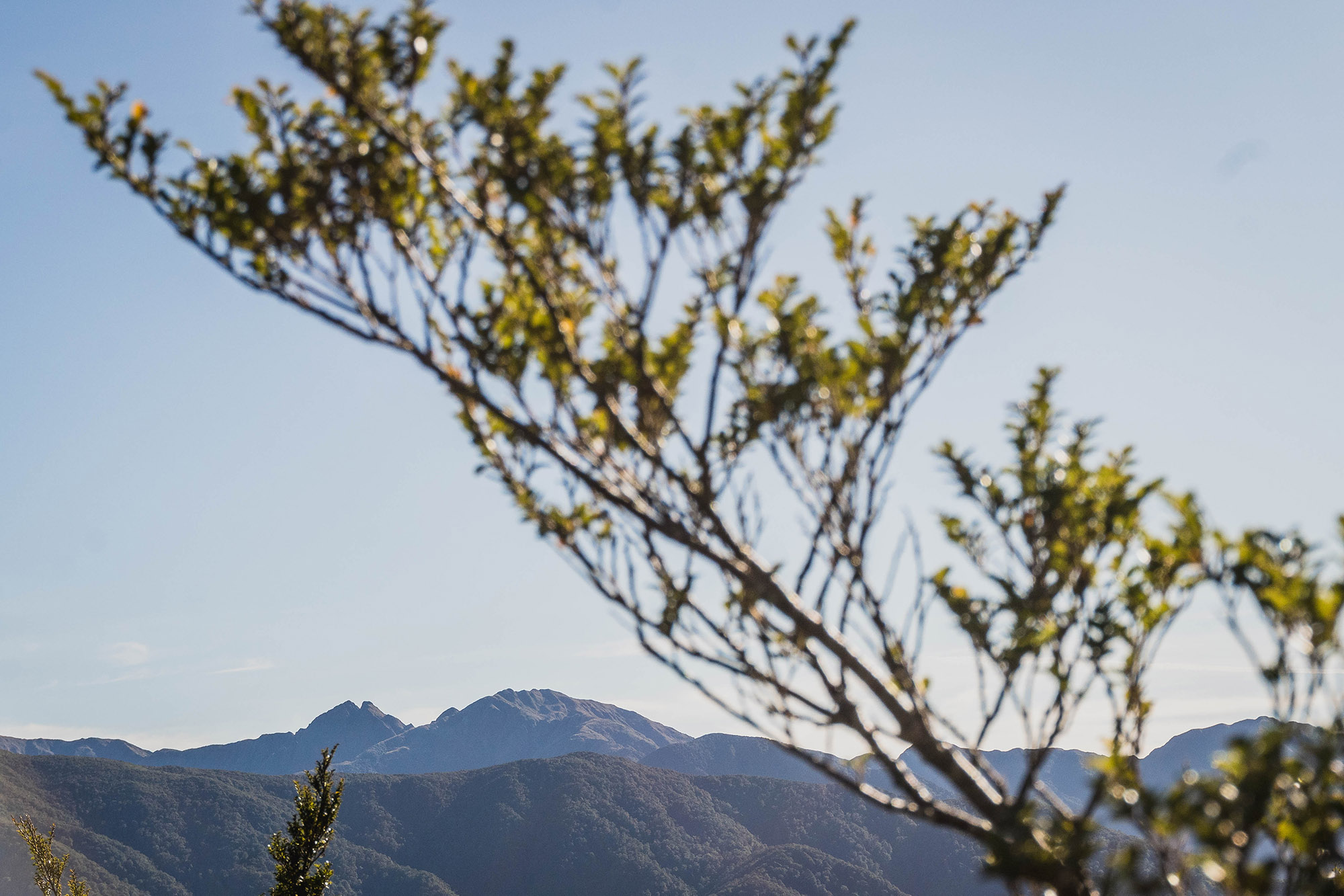
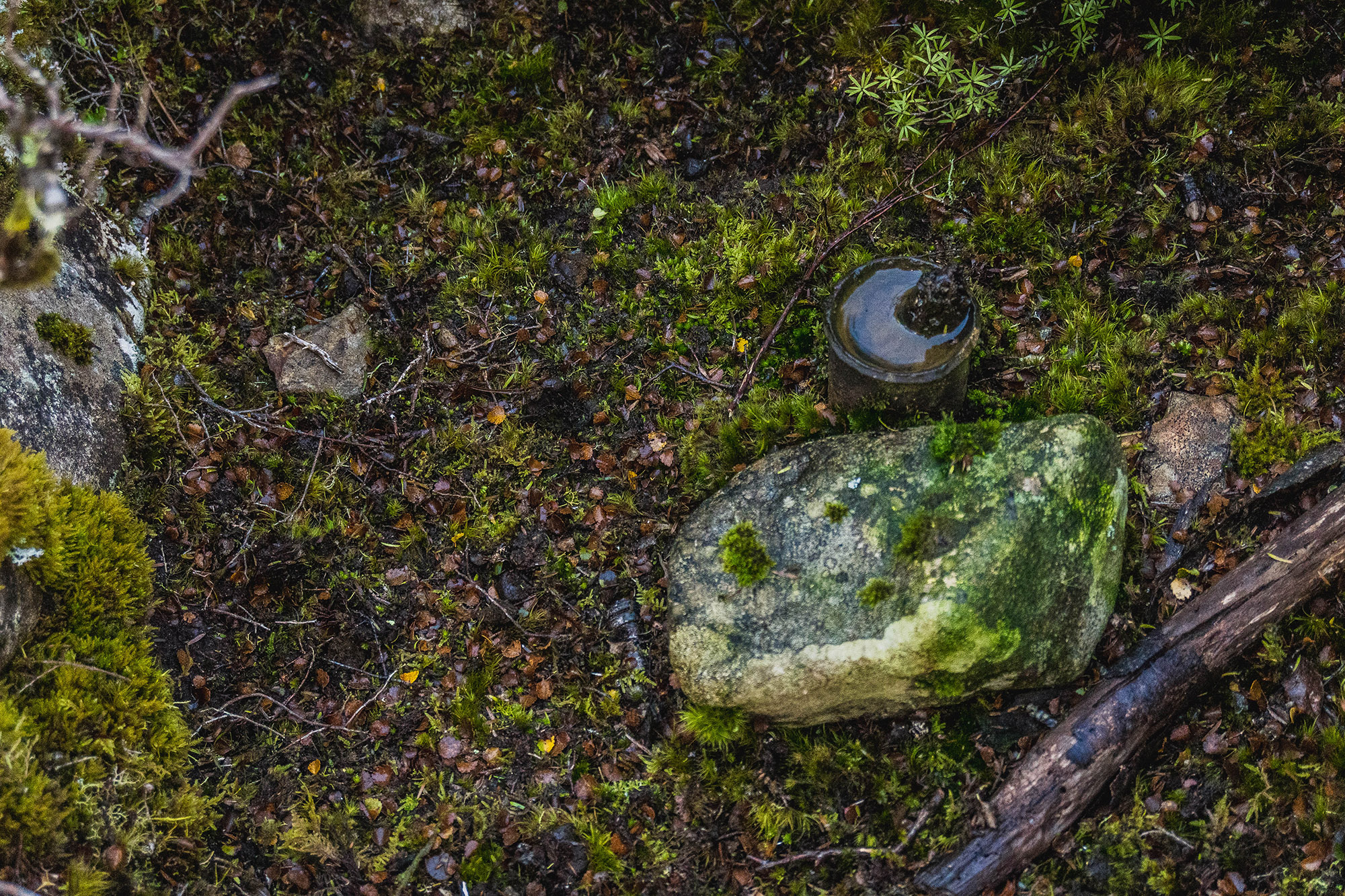
But what is worth exploring are the headwaters of Rocky Stream, just a few minutes off-track, and a great place to refill water. Back on the trail, the Dracophyllum starts closing in. While the original track probably followed the ridgeline, it’s easier to travel slightly east of it, just below the ridge. Olive and Tim’s dog Winni preferred the ridge proper and found a few epic rocky outcrops with views across the southern main range, Neil Ridge, Cone out front, and the Southern Crossing behind. It’s a very different perspective you don’t often get. Just before Waiohine Peak DOC 200 traps start appearing, it turns out that 15 or so years ago, there was a native Peka Peka bat colony in the headwaters of Deep Creek. The trees they were based in blew down, and no one knows where the colony migrated to. The traps are still there, and they don’t look like they have been checked in a long while.
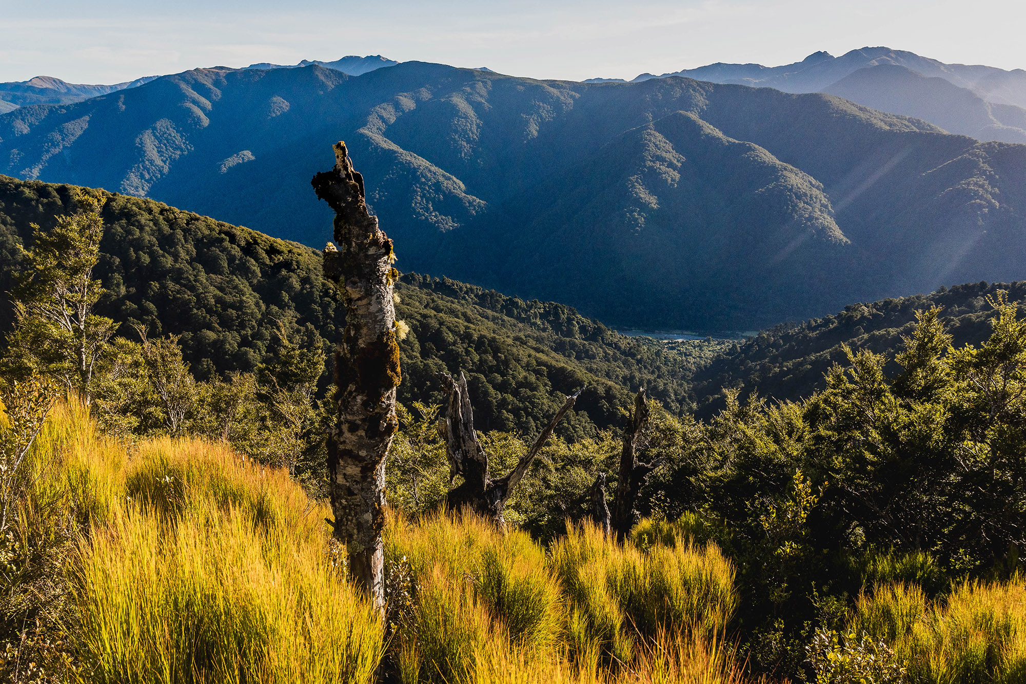
Waiohine Peak itself is about as understated as most notable spot heights in the Tararua, a rocky clearing with a bit of galvanized pipe bashed into the ground. From the trig, it’s a hop, skip, and jump to •810 and past the Sayers Creek headwaters. The trail becomes more defined here, and before long, you’re standing on the main track to Sayers Hut from the Mangatarere Road end. We reached the hut in just under an hour and mixed up some fresh electrolytes before our final push back to the car.
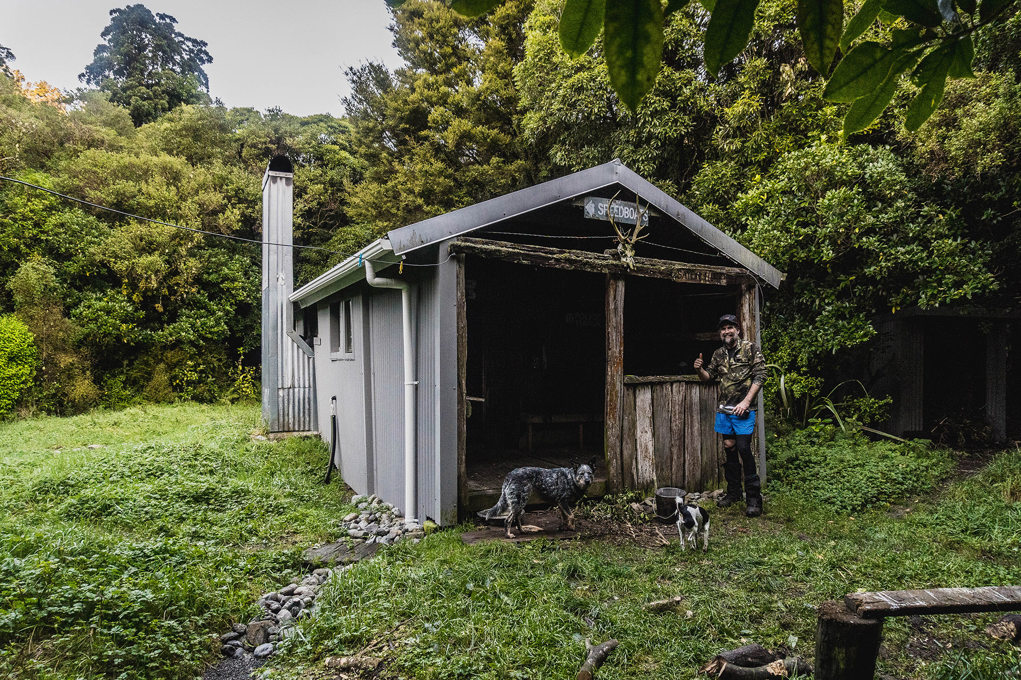
It was bittersweet moment, though, some muppets had cut down three or four mahoe trees right outside the hut for firewood. Honestly disappointing.
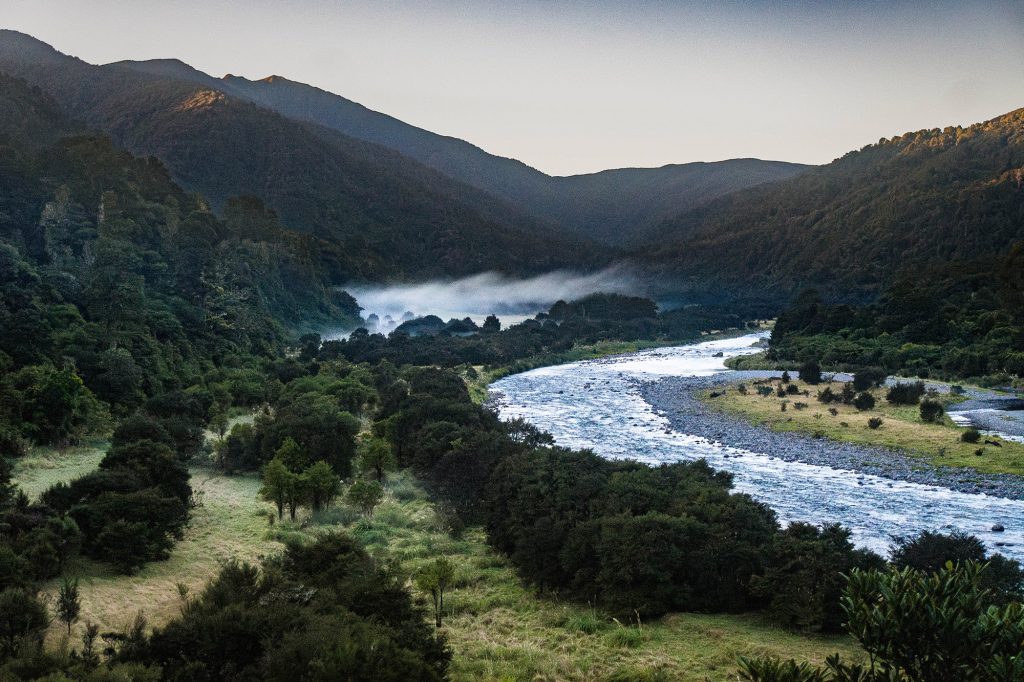
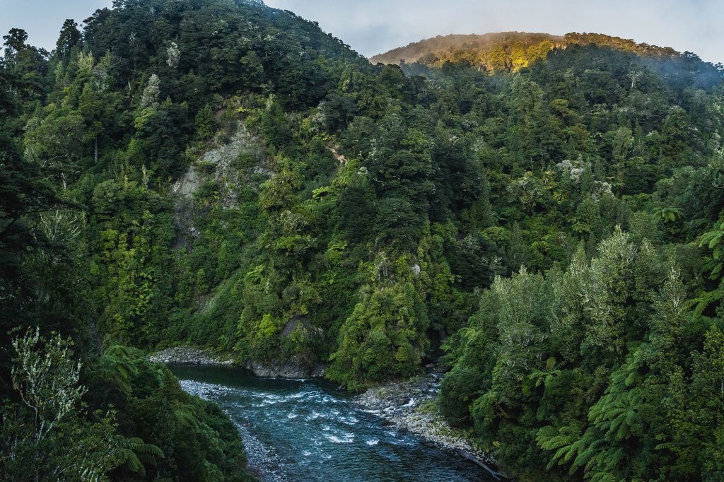
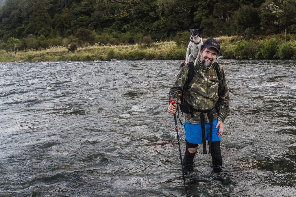
Thankfully, all the recent rain hadn’t impacted river levels, and after a knee-deep crossing of the Waiohine, we were on the Tōtara Flats Track heading home. Our dream of making it back without needing torches was thwarted by a sun that dipped below the hills at 4:45 p.m. I’d also forgotten just how much up and down there is between Makaka Creek and the carpark. It’s not mellow river travel. Two ice-cold Cokes and a bag of salt and vinegar chips awaited us, and made that last hour in the dark worth it.