I may have a Hut Bagger account, but I’m by no means a card-carrying hut bagger.
About four years ago, I was scrolling through Tararua huts I was still yet to visit (pretty sad, considering I’ve been walking in these hills for 37 years) when one popped up that I’d never heard of: Angle Knob Hut. Removed, as it turns out.
Essentially, it was the old Jumbo Hut; it sat one ridge west, perched just above the bushline and, like Jumbo is now, it was susceptible to a little breeze.
After reading about it on the Hut Bagger site, I didn’t think much of it until I stumbled across an old issue of Wilderness Magazine where two Wellington legends, John Rhodes and Shaun Barnett, visited the old hut site. The feature is full of amazing details about the night Angle Knob Hut was unceremoniously removed from the range, some pretty vague instructions on how to get to the old site, and clues about where some remnants of the original hut are still located.
Now, there are some unwritten rules in the Tararua. People these days tend to break them, but when it comes to airplane wrecks and secret huts, people don’t just hand over grid references. There’s a feeling among the Tararua Cabal that you need to earn those special spots through real navigation and hard work.
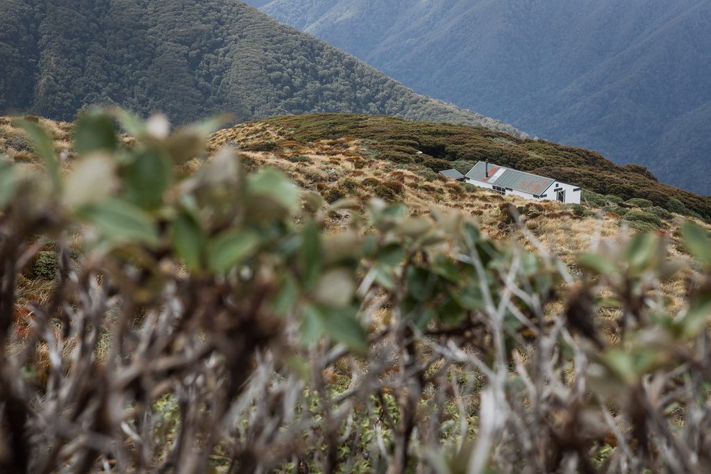
While I’m not a member of the Elite, I definitely subscribe to that mandate. So while there are a few trip reports out there from people who have gone looking for the infamous Angle Knob bunk beds, no one tells you exactly where they are. The location of the old hut site is a great starting point.
Now, if you didn’t take the detour up there and read Shaun’s story, I’ll give you the TL;DR.
After surviving in the same spot for 20 years, one stormy night in 1980 proved to be one gust too many. That’s right, the Tararua wind literally picked Angle Knob Hut off the ground, Wizard of Oz style, and dumped it 200 metres down the hillside in the bushes.
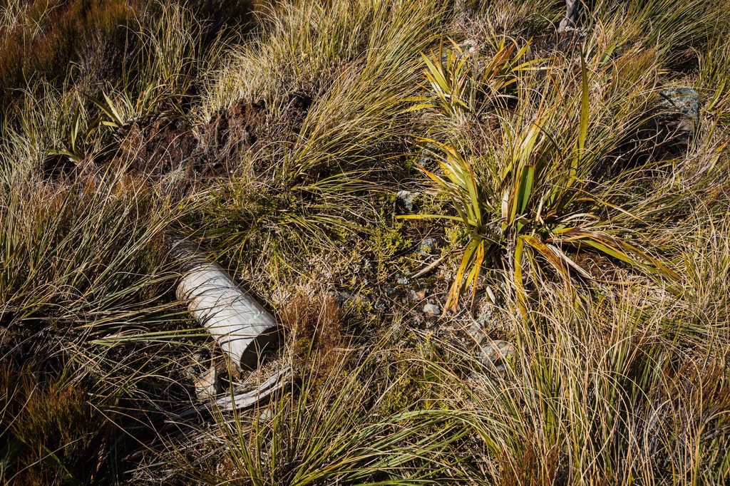
There was even a deer culler, Chris Jenkins, staying in the hut that evening. After feeling the hut lift off its piles several times, he moved into the long drop for a safer sleep. The move probably saved his life. He left the long drop before sunrise and descended towards the Atiwhakatu headwaters, completely unaware of the fate of the hut. Later, he told his boss that someone should go and tie the hut back down and check the piles.
When they went to check on it, the hut had vanished, and only the water tank remained. The Forest Service eventually dismantled what remained of the hut’s framing and cladding and stacked it in a pile, waiting for a chopper to come and fly it out.
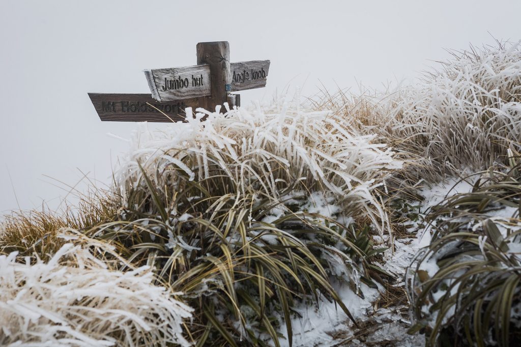
Forty-seven years later, that pile of material is still there. Along with three sets of bunks. One set, in particular, is still in amazing condition considering it has spent nearly half a century sitting out in the Tararua elements.
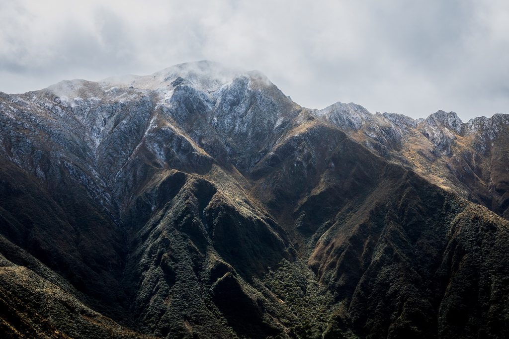
So when my son Max asked if I could drop him at the Mt Holdsworth car park, outside Masterton, on what looked like an epic day of weather, I thought: this is my chance.
I should confess that I’d spoken to several people who were keen to join the search for the Angle Knob bunks, but one day’s notice isn’t ideal for organising a trip like this. So, a solo mission it was.
As Max and I went our separate ways, with him heading off to walk the Holdsworth–Jumbo Circuit clockwise, he said, “Dad, you should come over to Powell tonight.”
“I’ll try,” I replied.
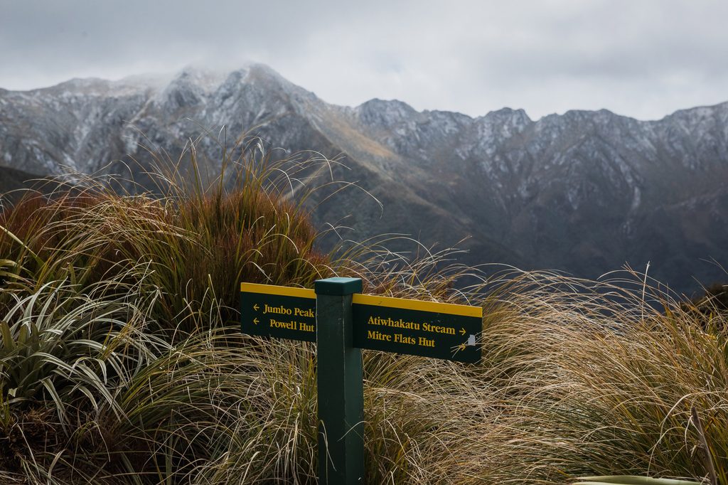
With a 1080 drop six months ago, I had Olive on a short lead and wasn’t trying to set any crazy times getting to Atiwhakatu. I was happy to arrive in under 1½ hours. We reached Jumbo Hut pretty much bang on three hours after leaving the car. After a quick bite to eat, Olive and I boosted up to Pukeahurangi and started making our way towards the 1397m high point, where the spur to the old Angle Knob Hut site leaves the main ridge.
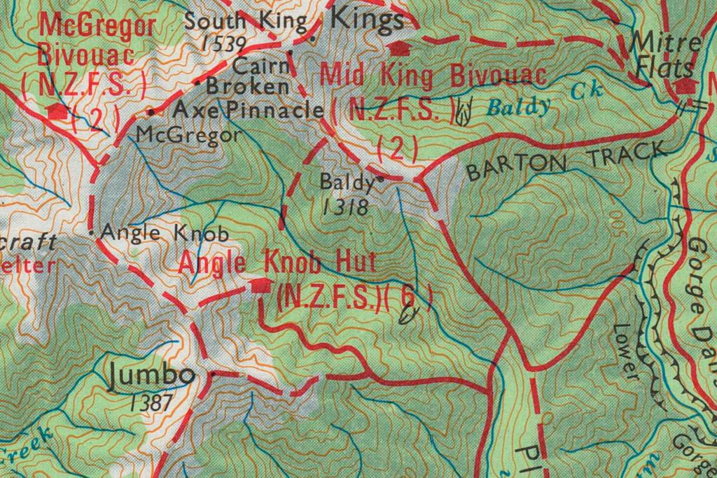
It was here that I pulled out the old 1:100,000 1973 Forest Service map to double-check I was heading in the right direction. It’s amazing how little information there is on a 1:100,000 map. The bushline was only about 380m below me and looked like fairly straightforward travel. It began that way.
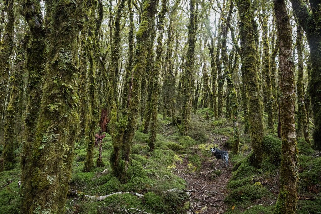
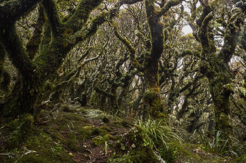
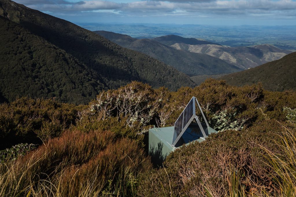
Then the leatherwood started. At first I could pick a line through it, but before long I was surrounded, and progress slowed to a crawl. After about 200m we were through the worst of it and could zigzag our way towards the old site, and the current location of a remote weather monitoring station.
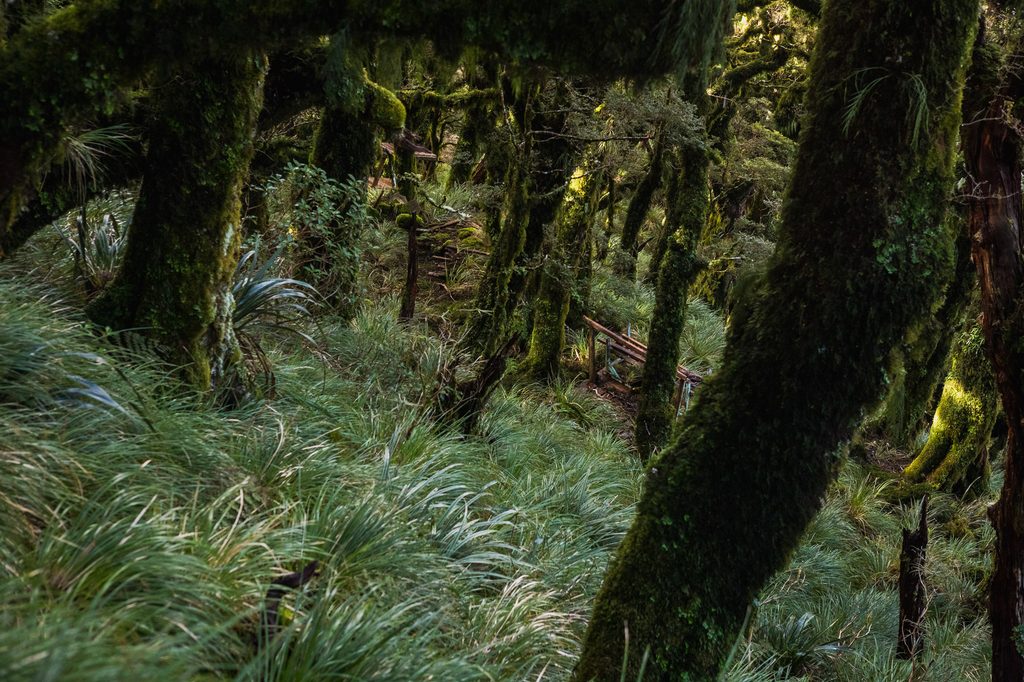
I wanted to be back on the ridge heading towards Powell Hut by 4 pm. To ensure my cut-up legs weren’t entirely in vain, I needed to find the old bunks quickly, snap some photos, and hightail it back to the high point. I found a nice entry point into the stunted beech forest where I could actually stand without having to hold on to the surrounding flora and fauna for stability, and started casting around for any sign.
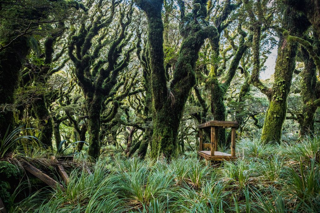
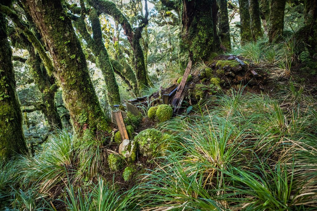
I mean, how do you hide a complete set of bunks? Well, it seems you don’t. After about five minutes of looking, I spotted an out-of-place structure in the distance.
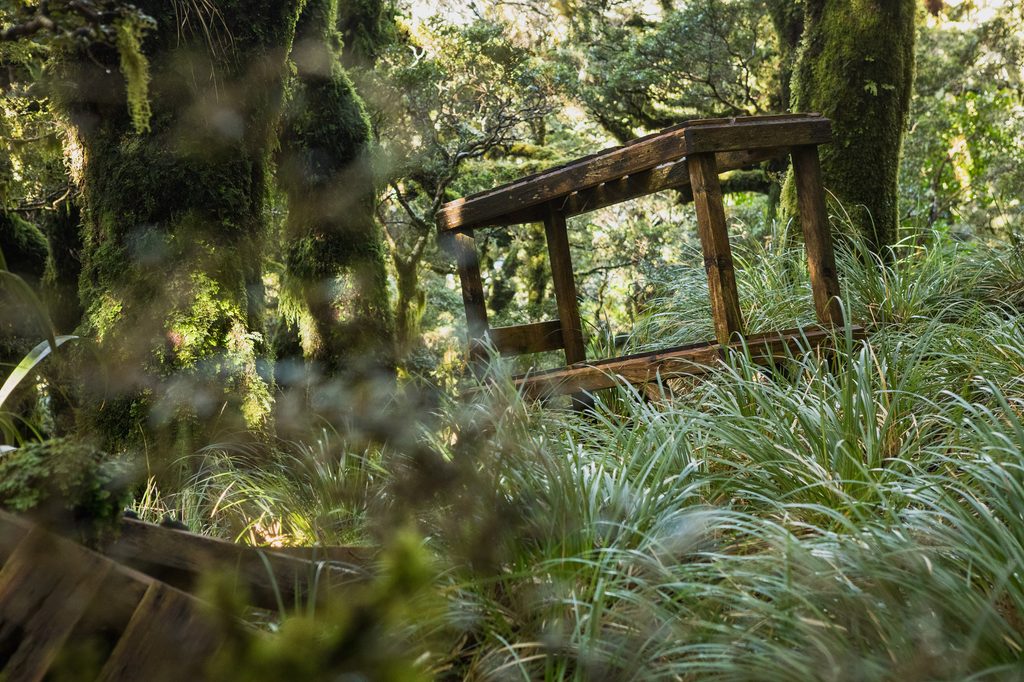
“We found ’em!” I said excitedly to Olive.
She did not share my excitement.
The most recent photo I’d seen of the bunks was from Paul McCreddie and his partner Sarah’s trip back in 2018, and I’d wondered whether, after nearly a decade sitting out in the Tararua elements, they might have finally fallen apart or disappeared altogether.
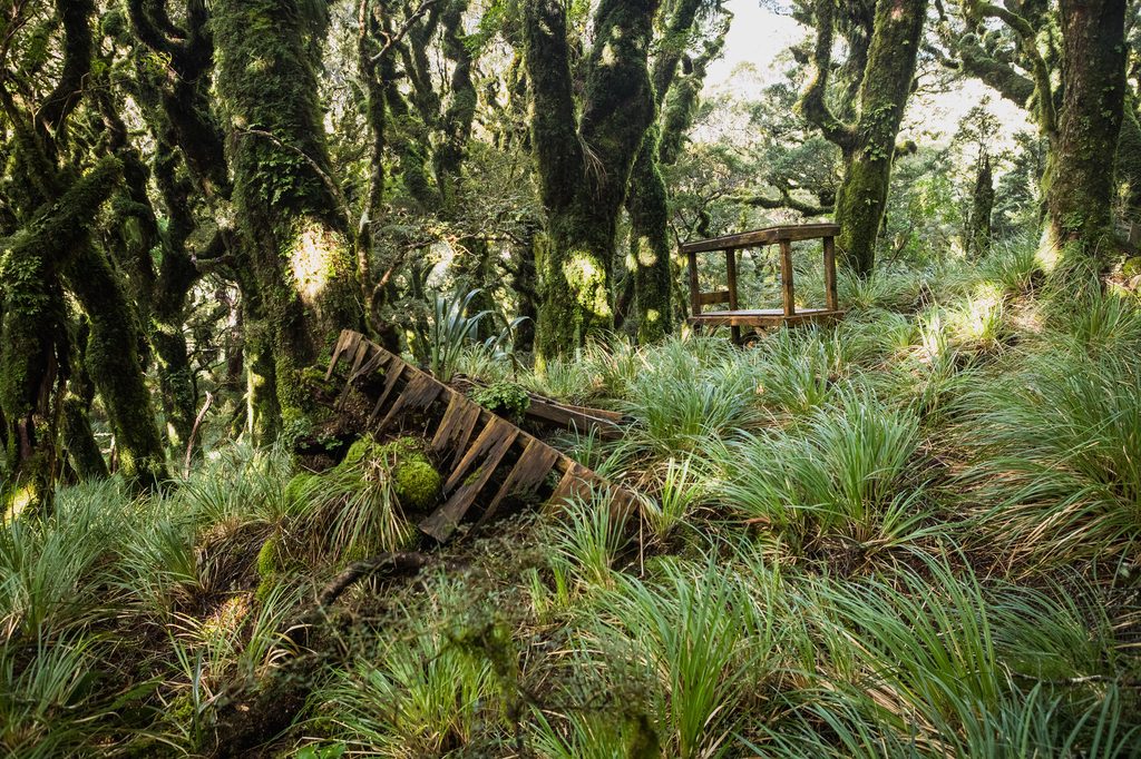
Nope.
There they were, sitting on a rather steep bit of hillside.
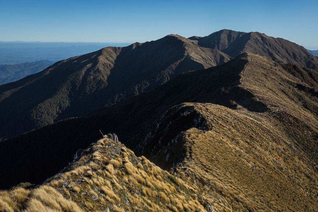
To put it mildly, I was chuffed. Four years after first hearing about them, I was finally standing in front of the Angle Knob bunks. All I had to show for the effort were some photos, a very happy feeling of achievement, and a pair of bright red, scratched-up legs.
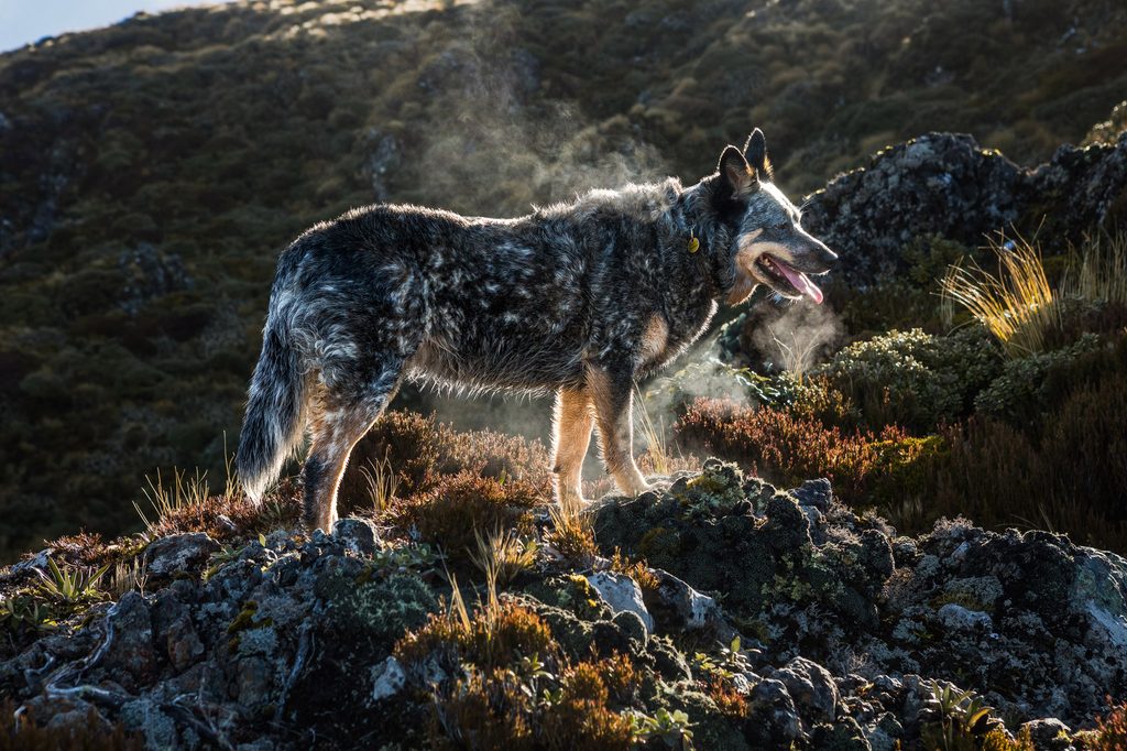
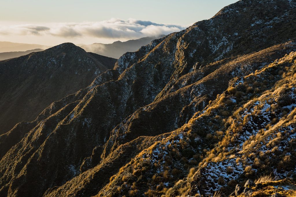
Not planning on making the same mistake on the return journey, I plotted a new route back to the tops. It reduced the dense leatherwood to just over 50m, and I was heading towards Powell a few minutes after 4pm.
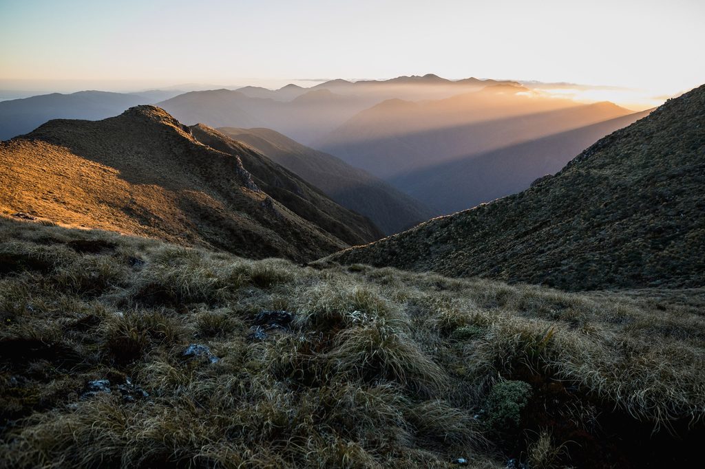
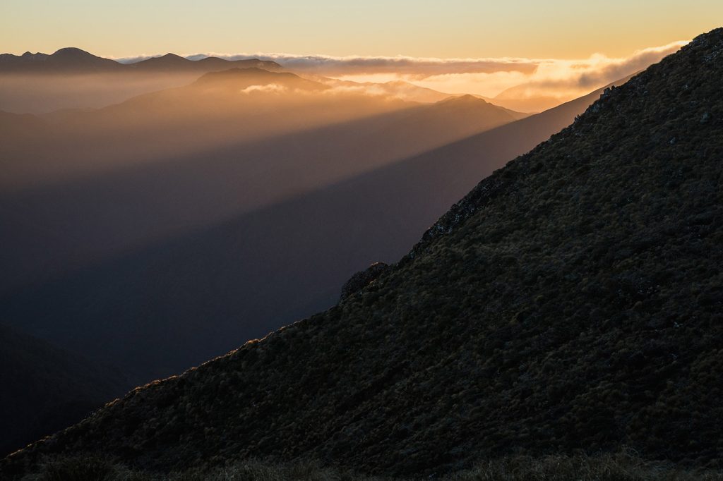
The sun set just as I reached High Ridge, and a few minutes later I found Max out capturing the sunset above the hut.
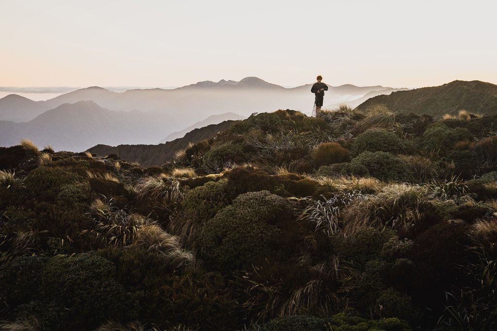
With not a whole lot of time to spare, I quickly had dinner in the hut foyer with a very tired Olive. I think she thought we were staying. Two hours later we reached the car. What an absolutely epic day in the hills.