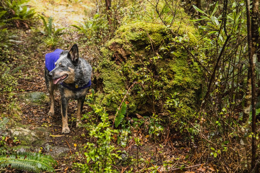
Disclaimer: While I do accept 100% of the blame for the wrong turn, I still think Wilderness Magazine’s website should be a little responsible. Also, this is not getting LOST, Max navigated us to the correct spot (sort of) and it should not be used as ammunition for not coming hiking with me.
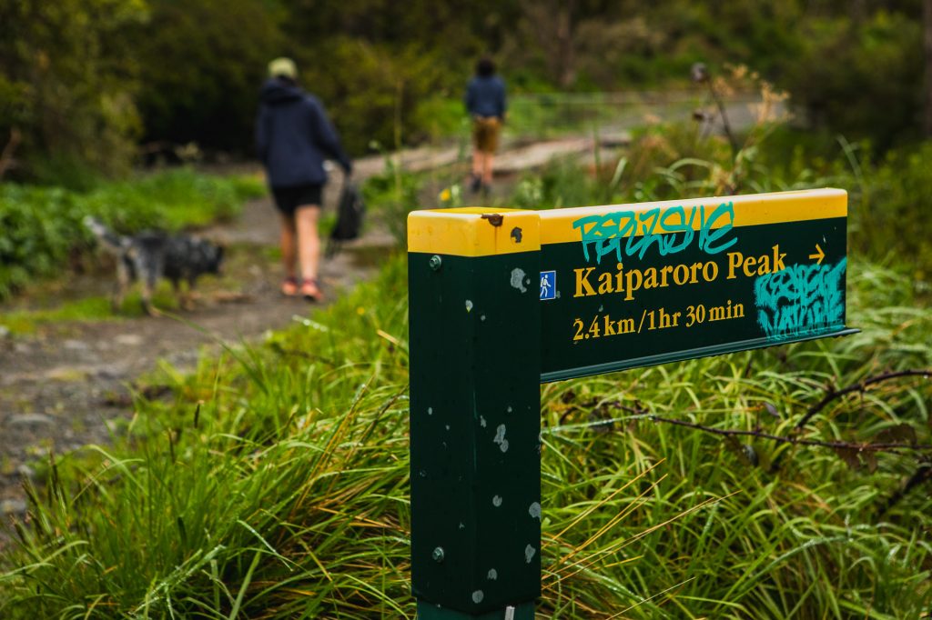
It all started when I was researching a trip to Shingle Slip Knob to visit the crashed 1955 De Havilland plane on its Southern flank. Wilderness recommended I read a story about another plane crash near the summit of Kaiparoro north of Masterton. It looked like an interesting day walk. So this Labour weekend, after putting my back out and not being able to carry a pack, I convinced Emma and Max to come for a wander and find the site of this plane crash and the pilot’s grave, before we went camping with friends in the Wairarapa. It should be three (ish) hours I said.
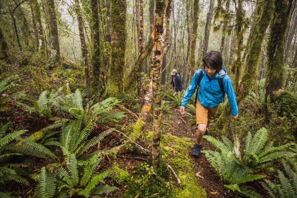
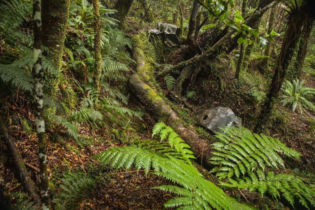
Never knowing if you are going to have cell phone coverage in the hills I clicked the link on the story page where you can download a map of the route and also a description of the walk to use offline. We arrived at the end of Kaiparoro Road just as another family was coming out. Fresh logging had torn up the bottom of the track, and their mistake was now our gain as they helpfully pointed us in the right direction to get started after they had gone the wrong way. The freshly logged hillside is a tough climb in the wet, our fresh footwear was welcome on the steep and loose trail. After 20 or so minutes we reached the edge of the logging area and entered a beautiful Manuka Forest, the steepness didn’t let up, the ground was no longer loose, but instead covered in mossy, slippery slime.
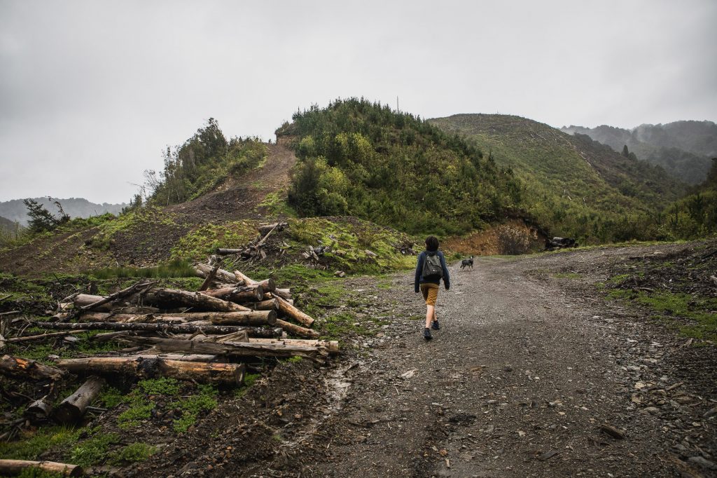
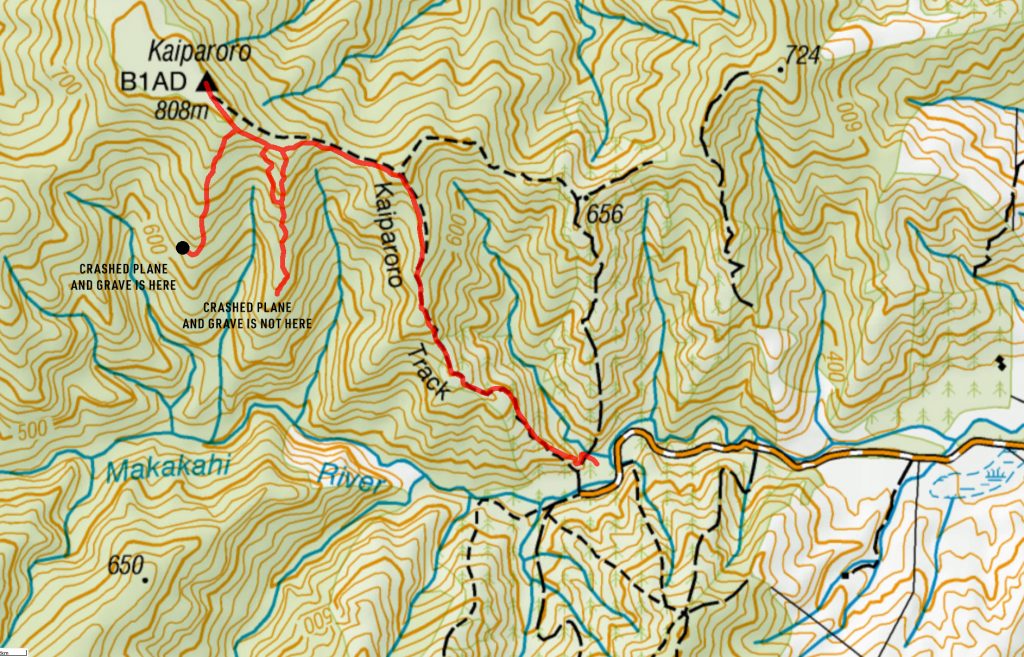
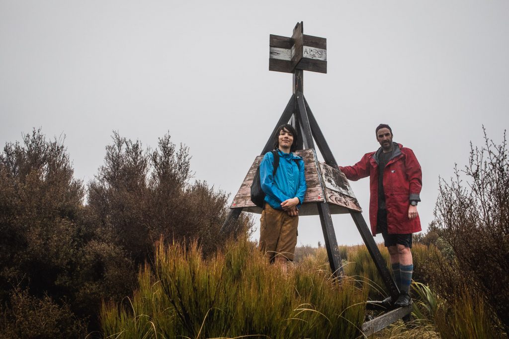
At 710m of elevation, you leave the old logging track and head west on a proper Tararua tramping track, after dropping down to a small saddle at 680m the trail then climbs up to Kaiparoro Trig at 808m. Given the crap weather Max and I had decided that we’d find the plane crash and grave first and then if we felt like it, and we weren’t too cold we’d knock off the trig. I pulled out the downloaded Map from Wilderness and we checked it out in comparison to our topo map, we were coming up on the ridge that it showed the track on, so we kept an eye out for a ground trail veering south of the ridge. When you want to see a ground trail you will, Max found one and we descended down the ridge to the 620m mark where the crash was supposed to be. We passed exactly zero markers or paint on the faint trail, the description did mention that we would see these, Emma suggested we turn around, but Max and I were convinced we were in the right spot, I mean we kind of were. We were in the exact spot the downloaded map had shown. No plane crash.
By chance, the actual Wilderness Magazine web page was still open on my phone and Max clicked on it and then let out a very loud yell. “We are on the wrong ridge, Dad!” After looking at the two maps side by side, Max was right, the map on the actual website clearly showed the crash on the next ridge up. One of the maps was right, and given our now extensive search of this area, it was pointing to the other one! We high-tailed it back to the main track and then up to the trig. Just before leaving the bushline, we passed a clearly marked and very well-worn trail leading south, almost definitely to the crash site.
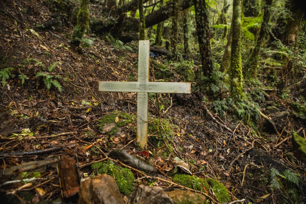
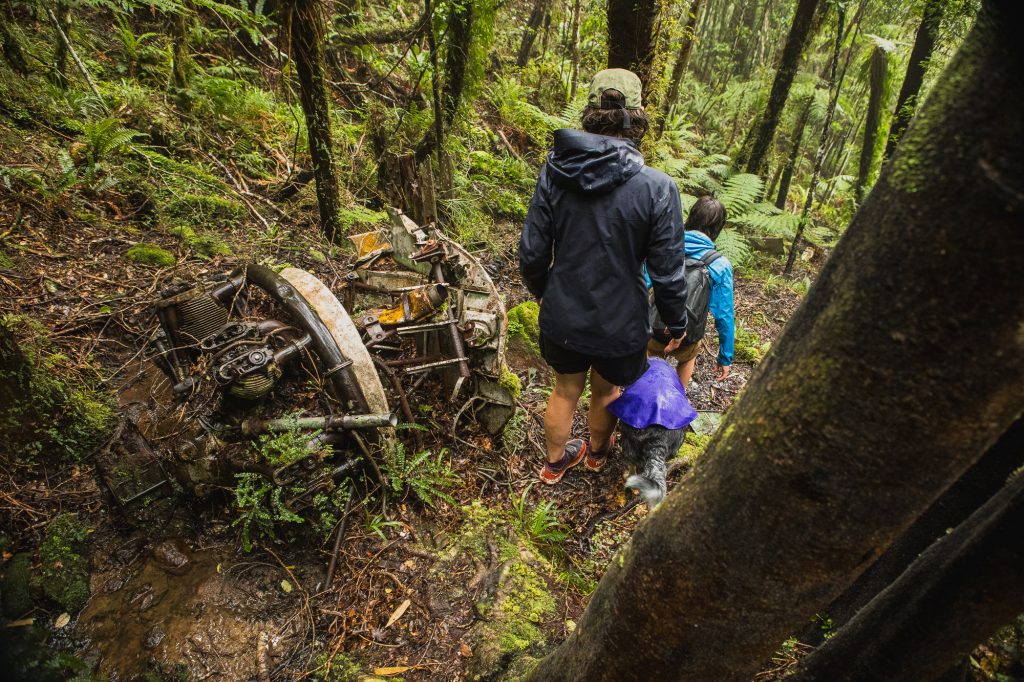
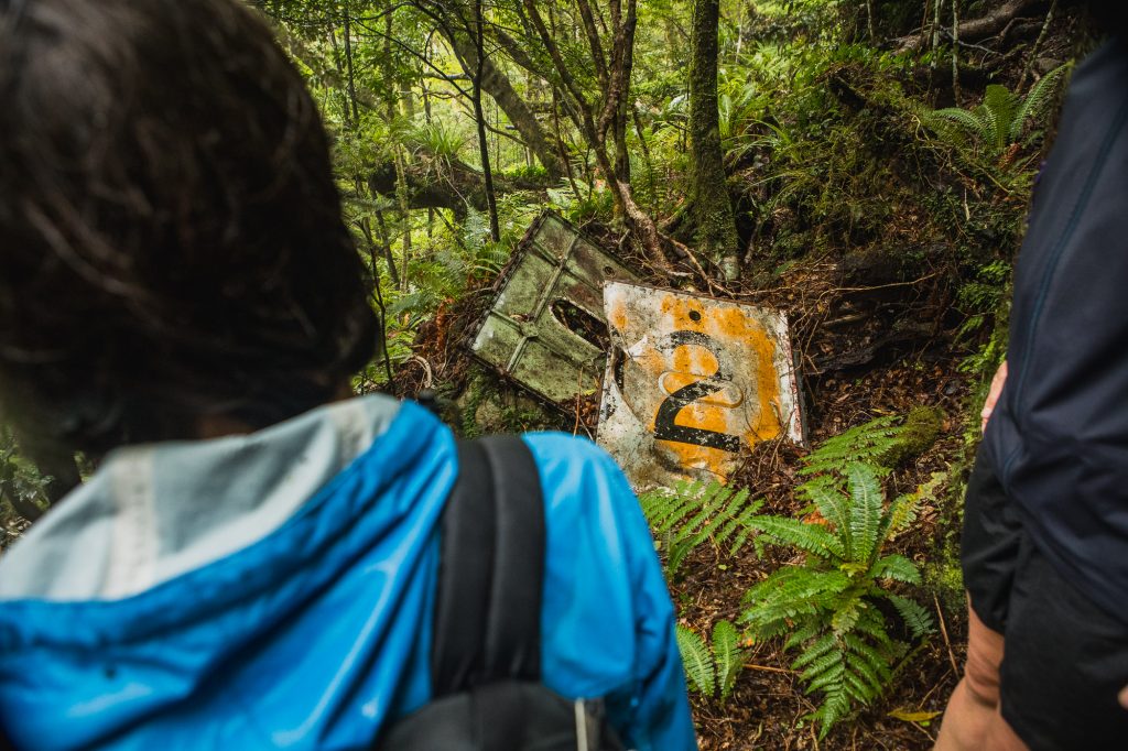
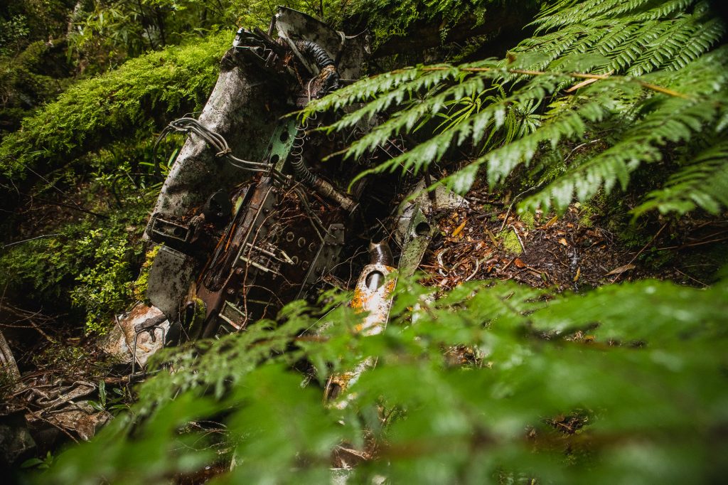
After wasting 50 minutes searching the wrong ridge, we’d now been walking for just under 2 hours, we were on a mission to get down to the crash site and were there 20 minutes after leaving the trig. The crash site is unmistakable, there are parts of RNZAF officer David Leary’s Airspeed Oxford NZ2124 strewn all over the hillside. and right in the middle is David’s grave. We explored for 10 or so minutes and then Emma powered back up to the top at the same speed it took us to walk down!
We briskly walked back to the old logging track and then ran down the trail to the barren logged landscape, I’m sure you could run this, but it’s incredibly steep, very loose, and with random branches sticking out of the ground in all manner of directions we opted to walk this last section back to the car.
The Wildnerness Magazine detour wasn’t ideal and it ate up an hour of our time in the bush, I’m disappointed I didn’t notice the two maps were different sooner, but it is what it is. If it had been a nice day we would have gone to the trig first and would have 100% seen the track leading to David’s grave. Without the detour, it would have been an hour to the trig, a 50-minute return trip to the crash site, and then 45 minutes back to the car. Definitely a fun way to spend 3 hours on a (sunny) Sunday.
Post Script: I let Alistair Hall at Wilderness know about the mistake around noon today and he replied in less than half an hour letting me know he’d fixed the Map on the downloadable PDF. Legend.