My daughter has been at Canterbury University for the last four years, and over that time I’ve wanted to go on a proper Christchurch tramp with her. For various reasons, it never happened. With her finishing up for good earlier this month, this was my one last chance.
Eliza had a plan. She wanted to visit the headwaters of the Waimakariri River and check out Carrington and Barker Huts (and maybe Waimakariri Falls Hut if time permitted). I needed very little convincing. Having done absolutely zero Christchurch tramping, heading up a big braided river sounded like fun rather than a chore, and Barker Hut looked to be one of the most perfectly situated huts in the South Island.
A week out from the trip, we started looking at the weather. YR, MetService, NIWA, they all said the same thing. Rain. Lots of rain. When six hours of your hike involves walking up one of the larger catchments in Canterbury, rain is not your friend.
So I started looking for Plan Bs. What I discovered was that Canterbury tramping routes don’t seem to have many swing bridges. The Edwards-Poulter looked like a good trip, but involved crossing the Mingha River, which would definitely be a problem if it flooded. There was the Casey-Binser too, another route involving a bit of river travel.
Cameron Hut wasn’t even on my radar until a friend suggested it. A quick Google revealed that, although it also follows a river, it’s actually a pretty good wet-weather option, with most of the track staying out of the river. It was an out-and-back rather than a loop, but with time and weather to contend with, beggars can’t really be choosers.
When I suggested Cameron Hut to Eliza, she replied, “The one with the purple door?”
I hadn’t noticed the door during my research, but going back through the photos for another look revealed a very bright purple door on a rather cute, forest-green alpine hut. That was enough to sell it.
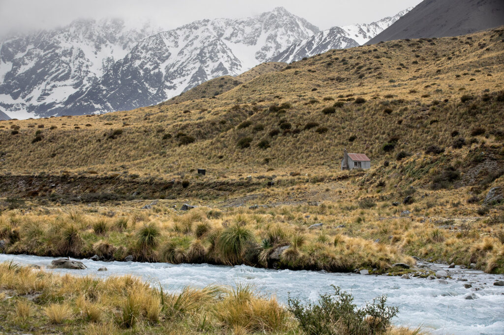
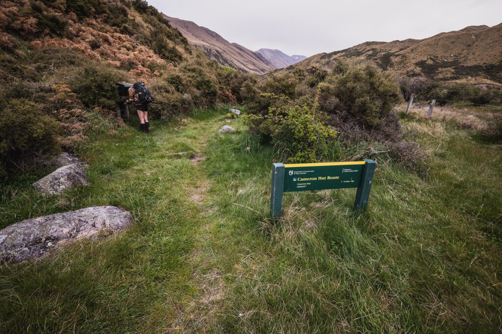
The drive out is pretty, taking us into a part of Canterbury I’d never visited. We passed the turn-off to Woolshed Creek and continued past Lake Heron Campground. There’s no sign telling you when to turn off for the car park, but Apple Maps knows. An unmarked 4WD track heads off towards the Cameron River and, after 1.4km, ends at a rather nondescript car park. There’s even a semi-waterproof box containing the trip intentions book.
The sign says it’s six hours to the hut. Looking at the map, there’s around 700m of climbing, mostly following the gradient of the river, but with one high terrace to climb up, cross and descend before the final push to the hut.
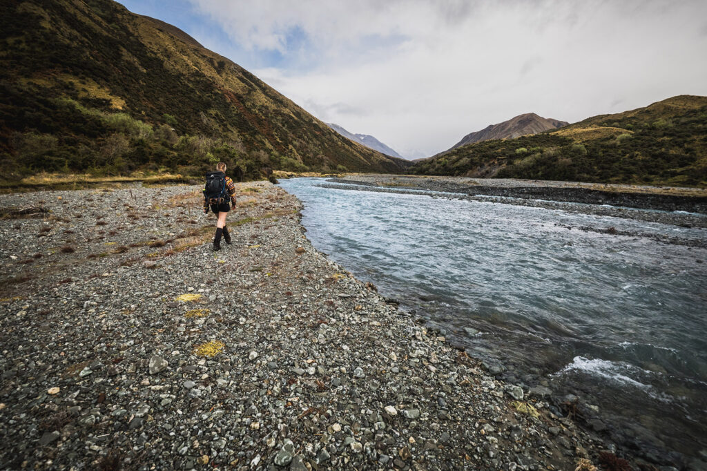
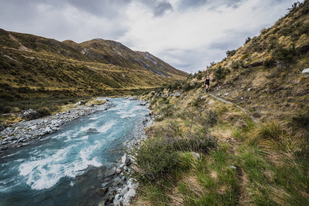
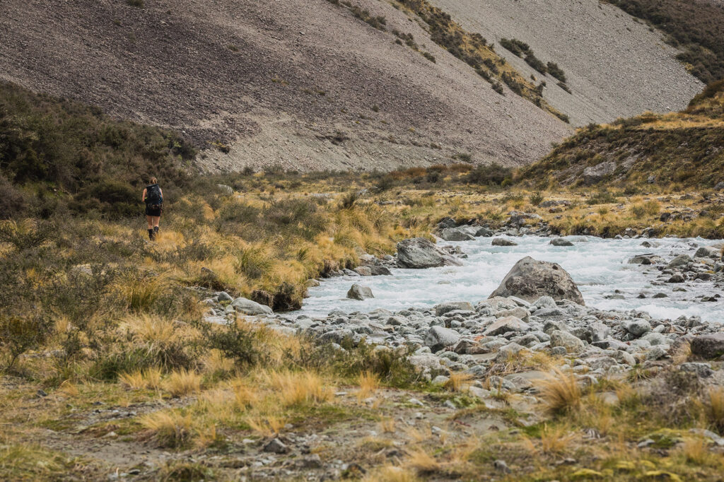
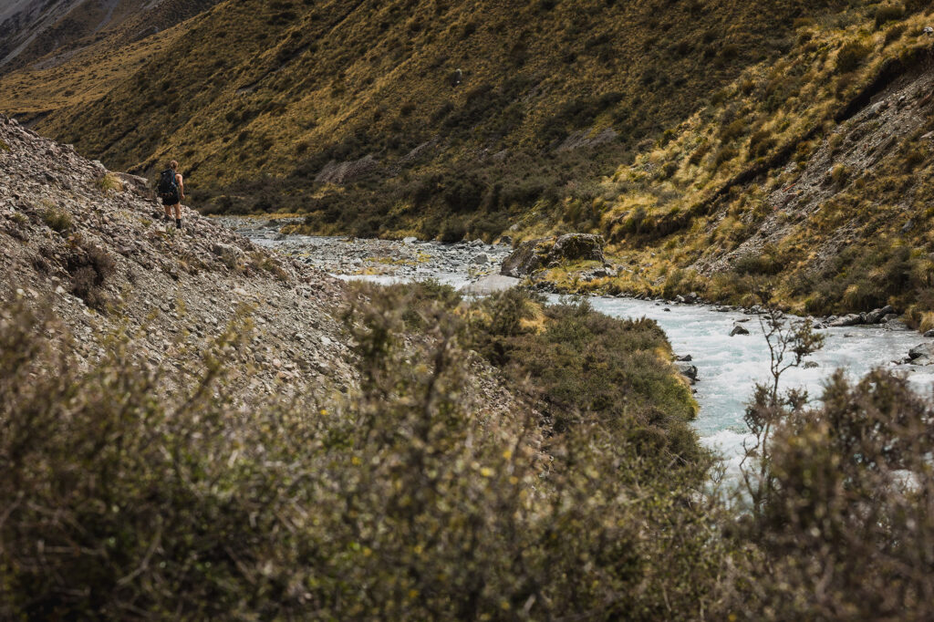
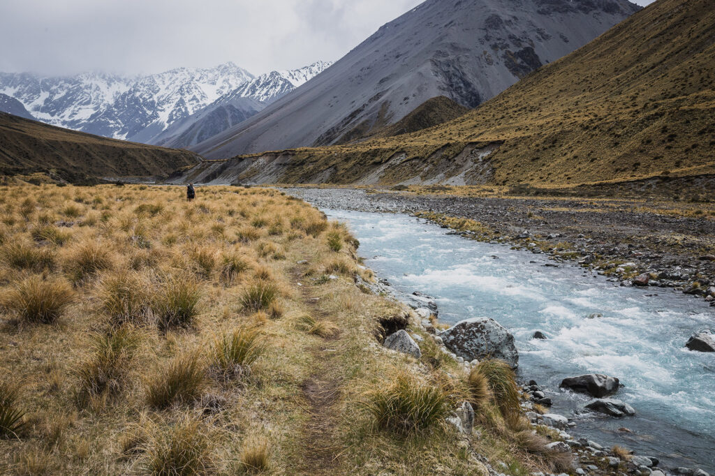
The river travel is pretty, although a tiny bit tedious as it follows the true right of the river the whole way. Trip reports suggested you could make your way up the valley with dry feet, but we were forced into the shallow edges of the river a couple of times. You could push through the matagouri and stay dry, but that would take time, and you’d most definitely get scratched up.
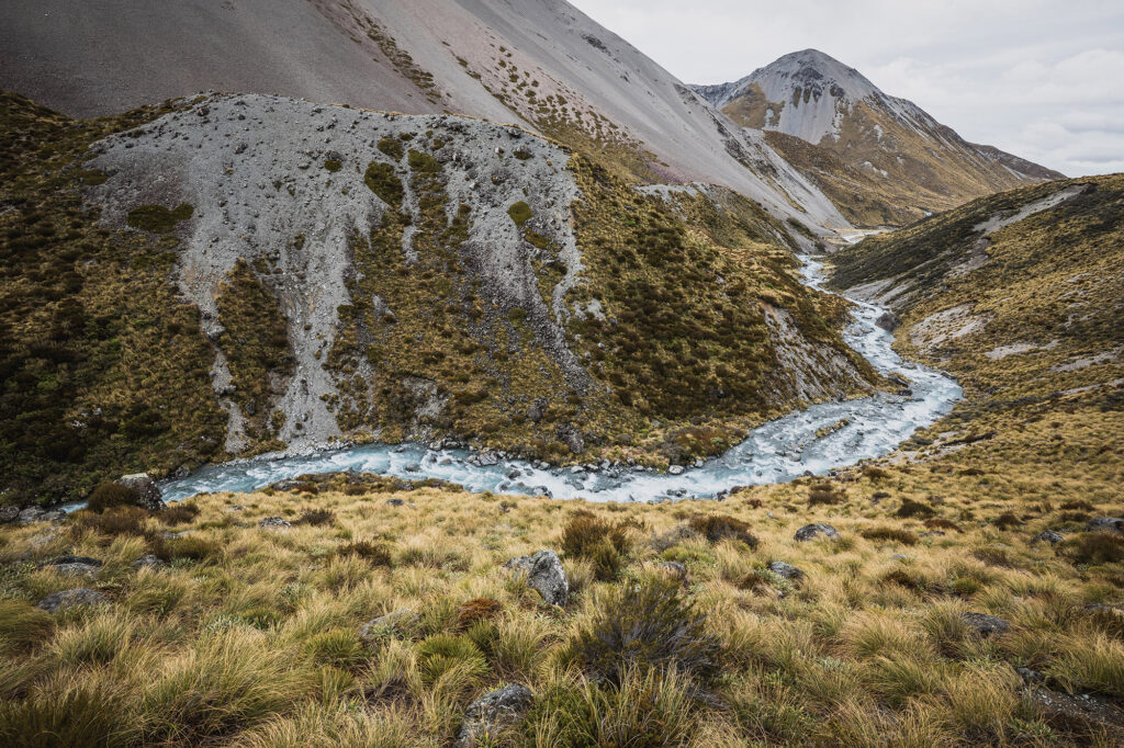
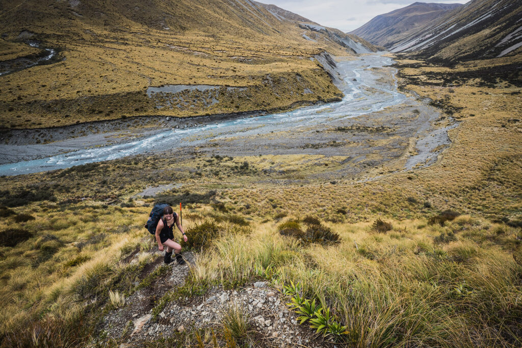
About halfway up the valley, on the true right, you pass the old musterers’ hut, Highland Home. Not long after that, the climb up onto the plateau begins. From a distance, the top appears flat, but after the near-vertical first 60m of climbing, the plateau continues upwards for another 90m or so before dropping back down to the river.
Now, I have to drop a bit of information about all my kids here. They all walk fast. Both Eliza and her older brother Elliot have walked so fast, with such minimal breaks, that they’ve both witnessed me vomit from exhaustion trying to keep up.
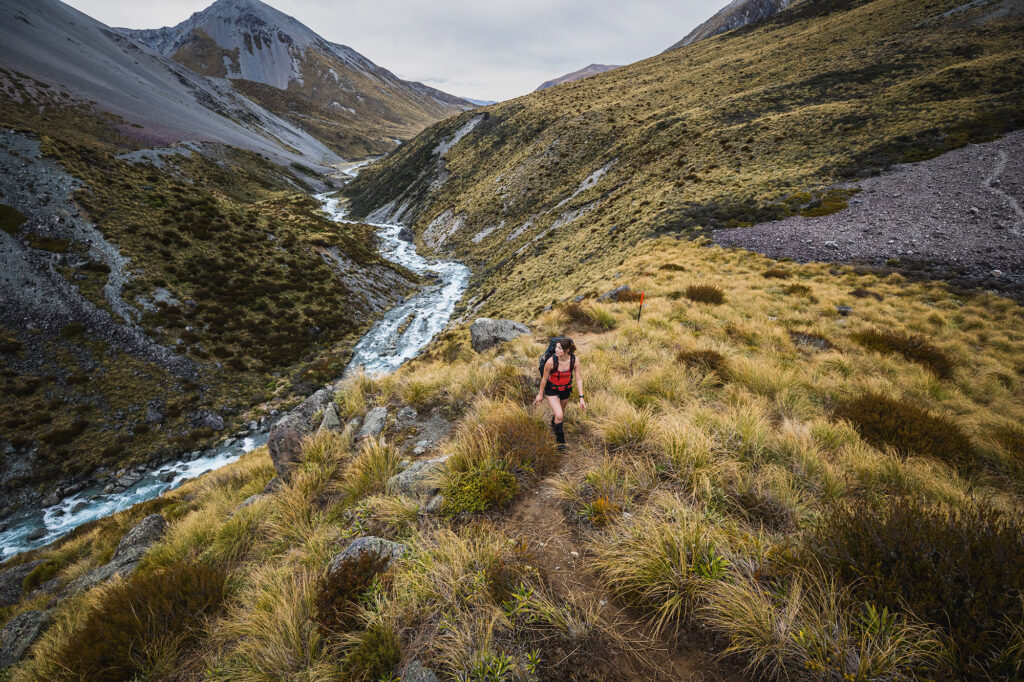
When we saw the sign at the car park stating six hours to the hut, Eliza reckoned we should be able to do it in five. I thought there was a chance I could hang on. After starting at 10am, it turned out I was actually keen for lunch after about three hours. I suggested this to Eliza, but she replied that we should push on and have a late lunch at the hut.
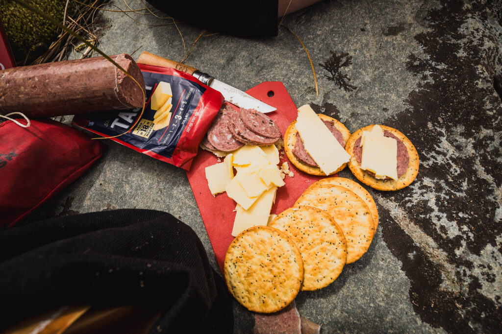
Another hour passed, and I knew that if I didn’t take a little break and get some food into me, she might just see me hurl again. At the bottom of the final 140m vertical push to the hut, we stopped for some venison and cheese crackers.
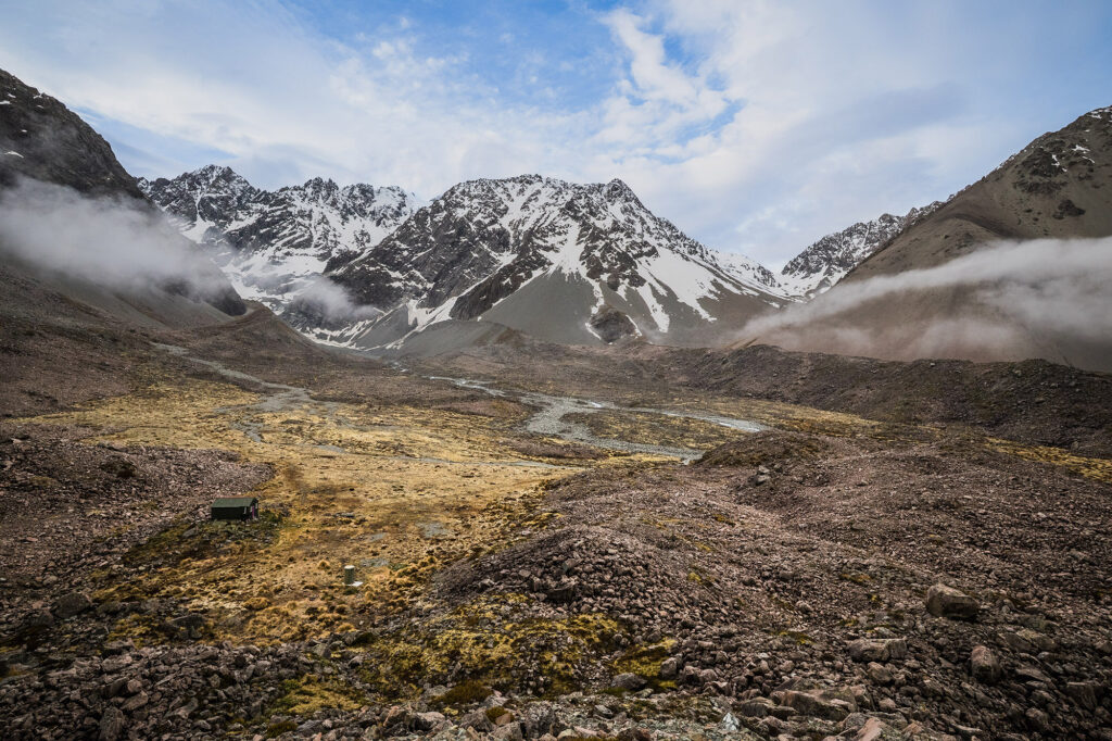
For that final 140m climb, you can choose to follow DOC poles and a bunch of cairns directly up the headwaters of the Cameron River, or take the dry-feet route through the tussock. We chose the stream route and, after 5 hours and 31 minutes, reached the hut. The one with the purple door.
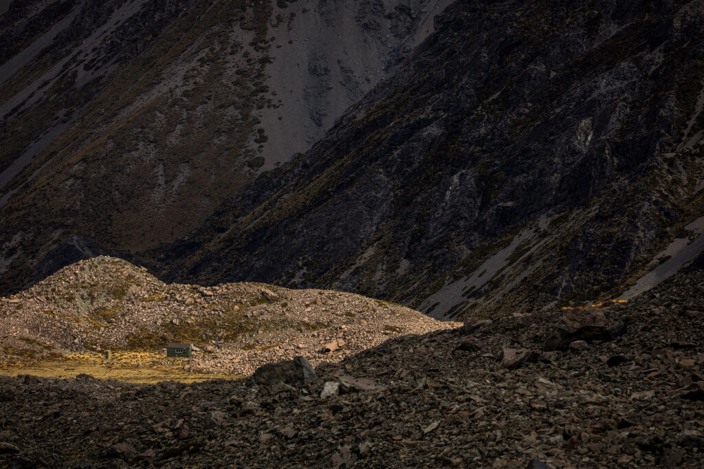
The hut sits in a large alpine meadow and is dwarfed by multiple 2,400m-plus peaks of the Arrowsmith Range. It’s a magical place. I can only imagine what it’s like in winter.
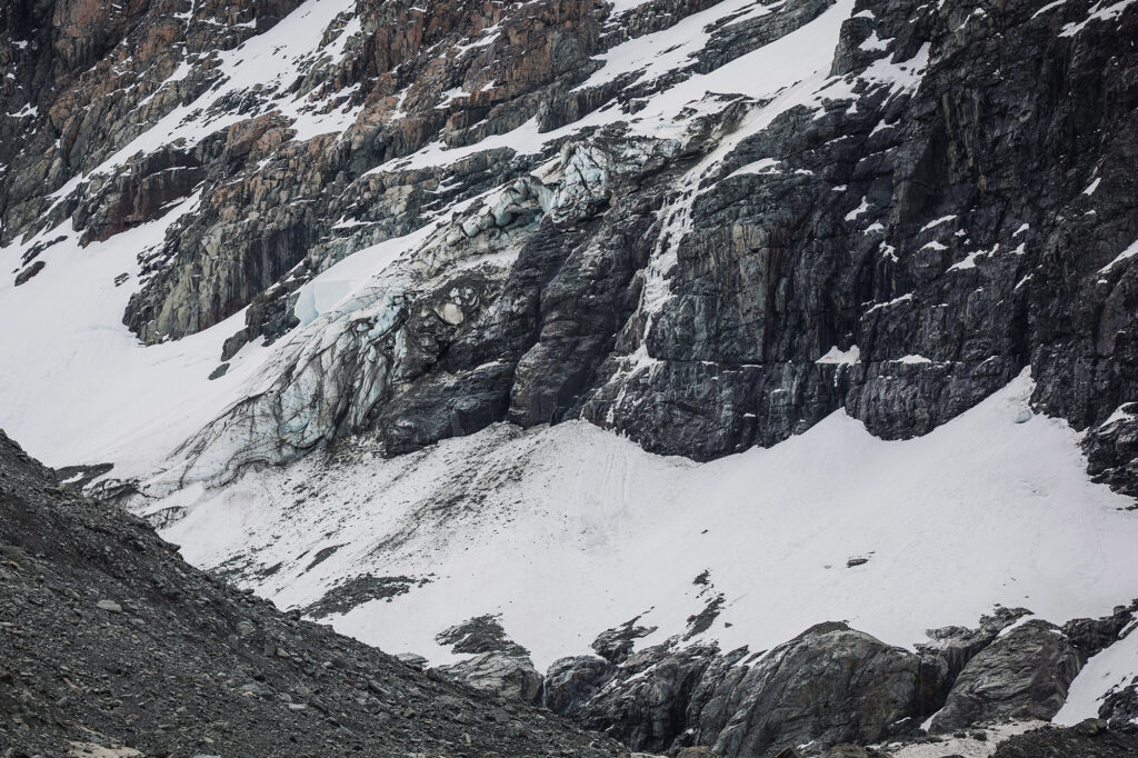
We had a spot of afternoon tea before heading off on a mission to track down the Cameron Glacier at the head of the valley. The glacier proved rather elusive, having retreated quite a way up its north-east-facing valley. We managed a glimpse, but would have needed microspikes to safely get any closer.
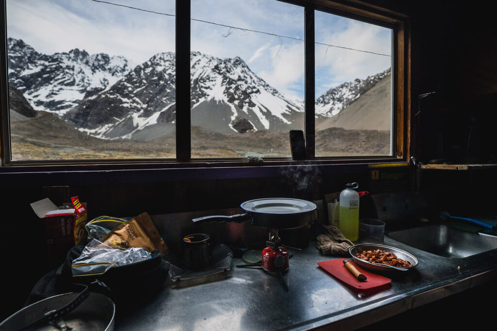
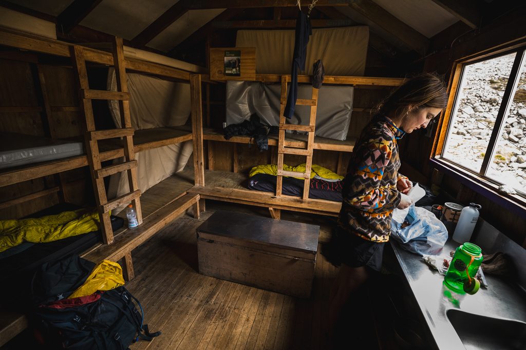
We had the hut to ourselves and spent the rest of the evening reading about the hut and the climbs above us. That was until Eliza picked up an old copy of Wilderness and asked me what the hut was on the cover.
“That’s Ivory Lake Hut, the one with the armchair.”
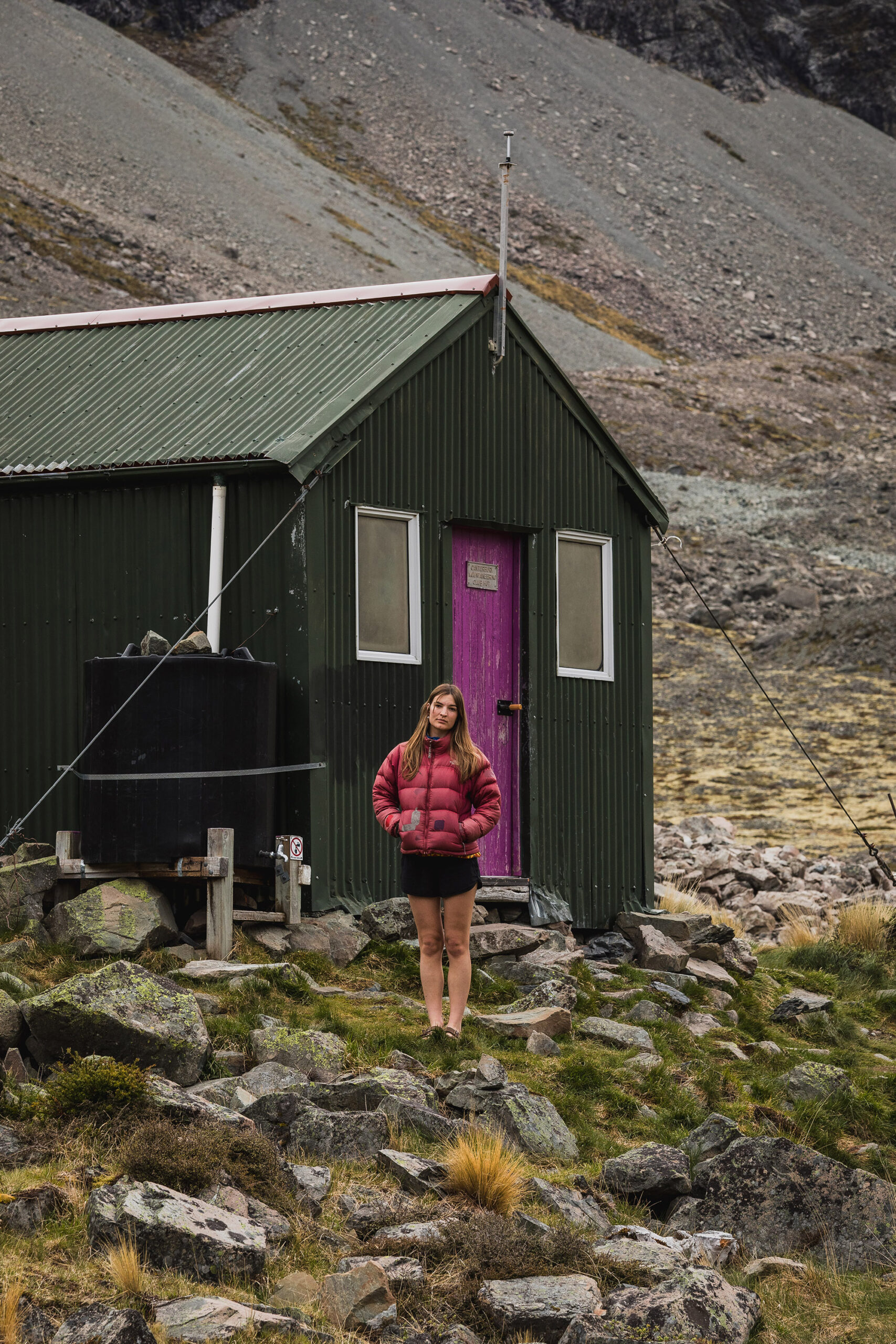
The next morning, we made short work of the return trip to the car, knocking an hour and 15 minutes off the outward journey. We had lunch in the sun next to the car.
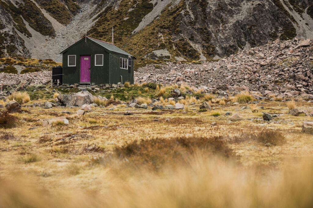
Oh yeah, the forecast rain never showed up. And, as you can see from the photos, we even got a full view of the Arrowsmith Range!