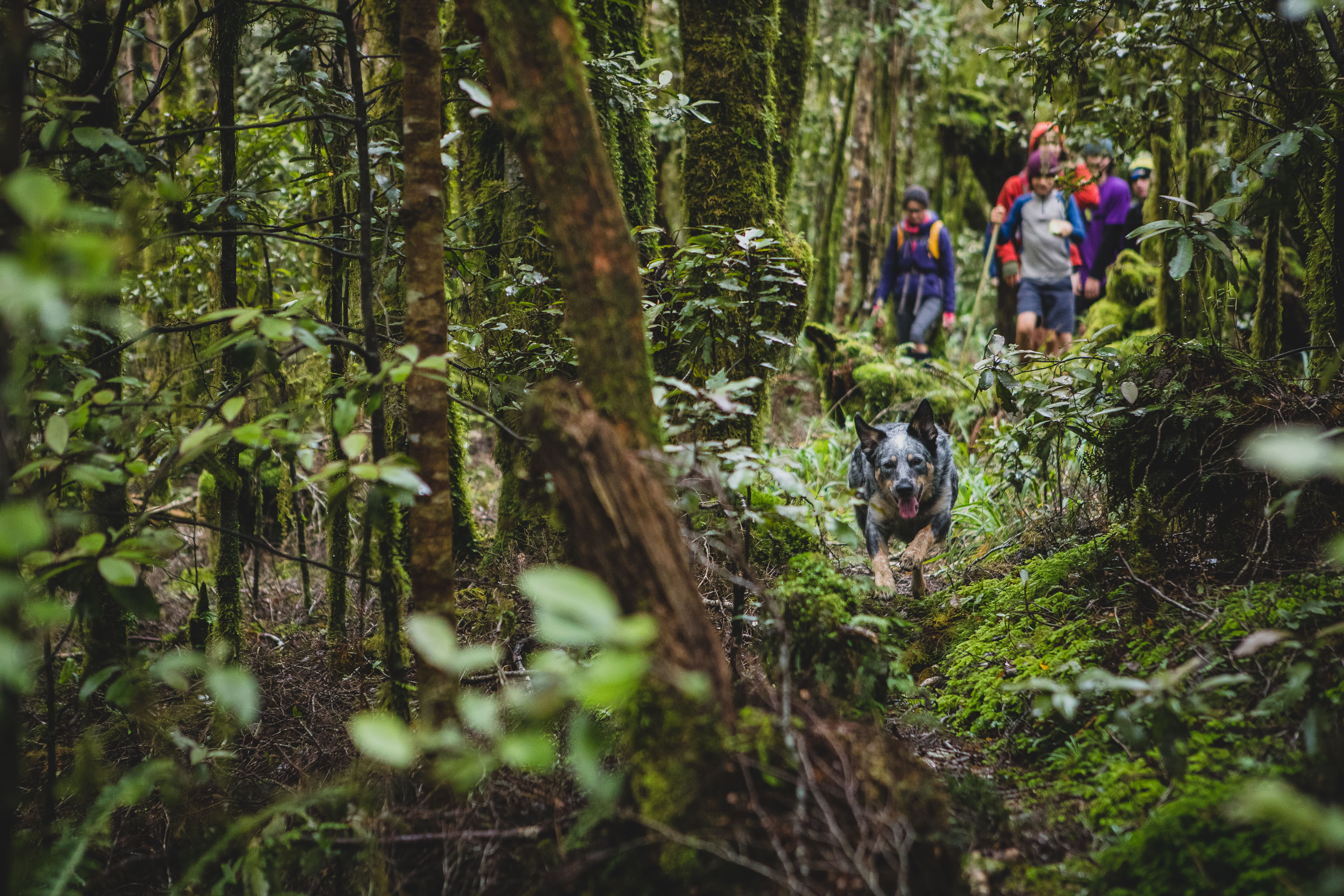
After our failed attempt at finding the crashed RNZAF Ventura Bomber in the western Tararua foothills, Max and I knew we had to get back to locate it. Never has one of our trips into the hills garnered so much interest from friends and family wanting to join us. It seemed the wreckage was a pretty nifty carrot. The offers for guests on our next trip to find the plane’s remnants came from far and wide and after getting some bonus intel from Coda the Collie, we were pretty sure locating the wreckage was going to be a reasonably speedy affair.
Despite all the interest, when push came to shove, it was just our friends and neighbours Diana, Scotty, and their son Hughan who stepped up to the boggy walk. I wasn’t 100% keen on walking in and out like Max and I had done on our previous mission. I was keen to either loop left to Thompson and back to the cars from the top of Mick or take the slightly more adventurous route to the right via •874 and check out one of the Tararua’s more luxurious private huts, Waitohu Lodge.
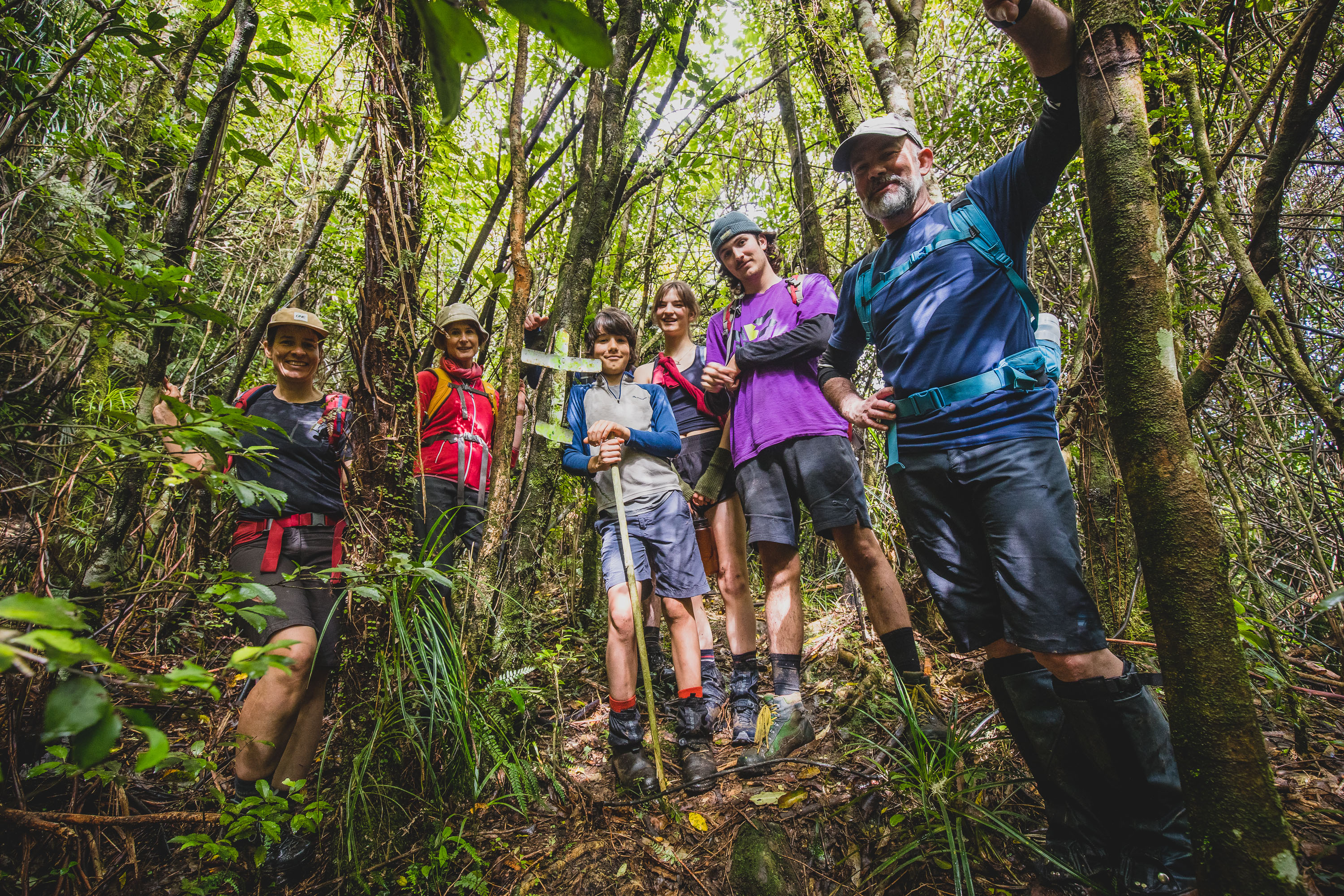
Now having my whole family on a tramp is a rare occurrence, normally it’s just Max and I. But as you may know, my last solo trip into the hills didn’t exactly go to plan. So I think there may have been a small possibility that maybe, Emma and the kids just wanted to make sure that their Dad didn’t take any wrong turns or bite off more than he could chew. Frankly, I didn’t care why they all decided to come, getting out into the bush with all three kids and Emma is what I dream of. With teenage jobs, school, and friends, finding time to spend together with the whole family is rare so i was down to make the most of it.
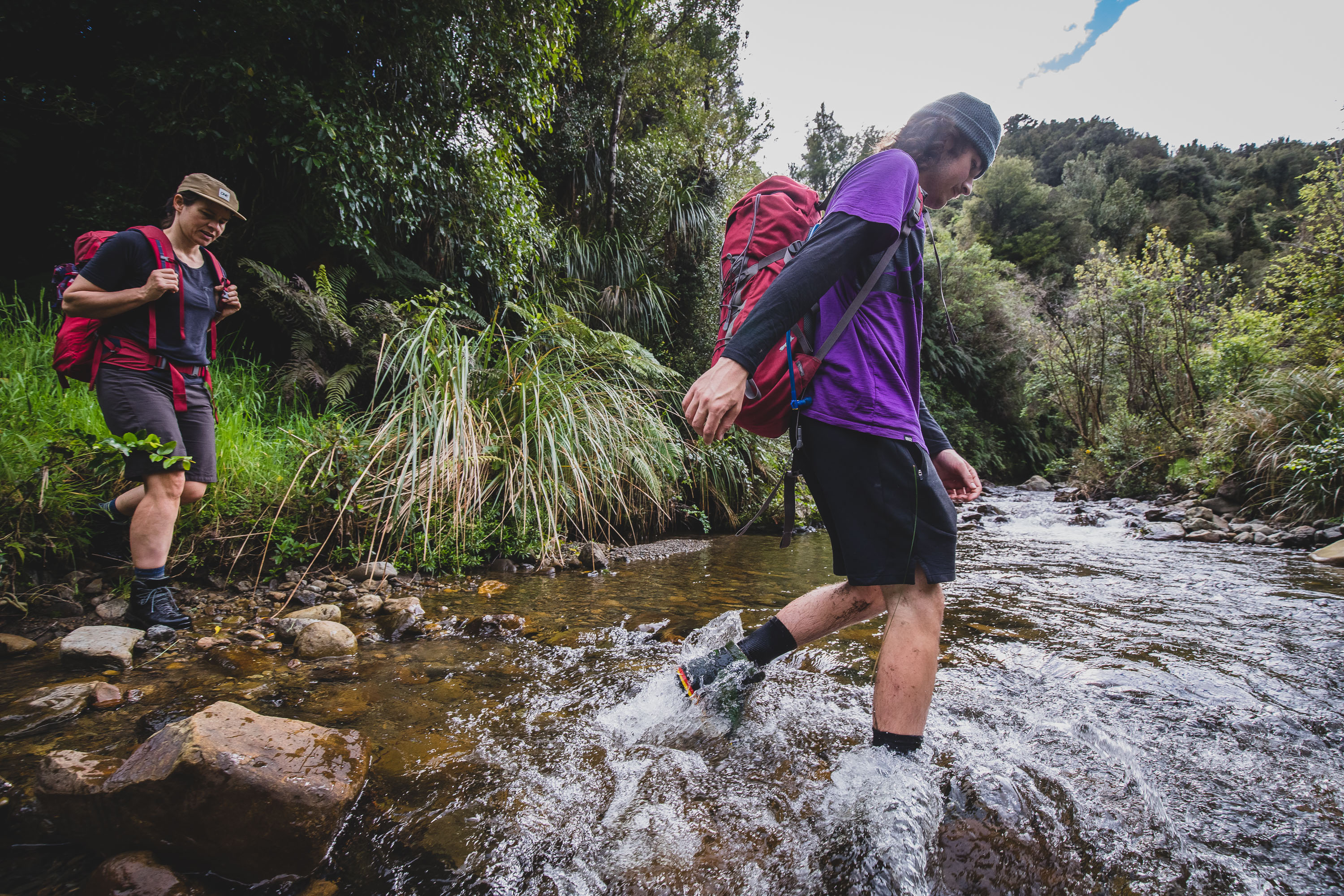
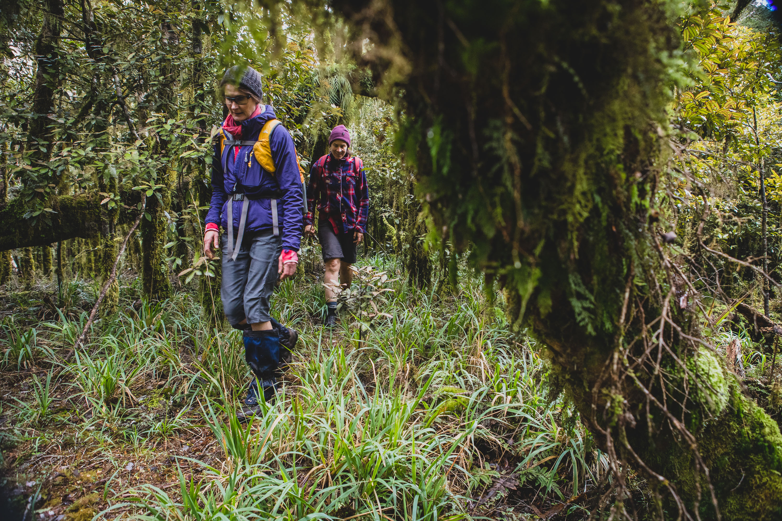
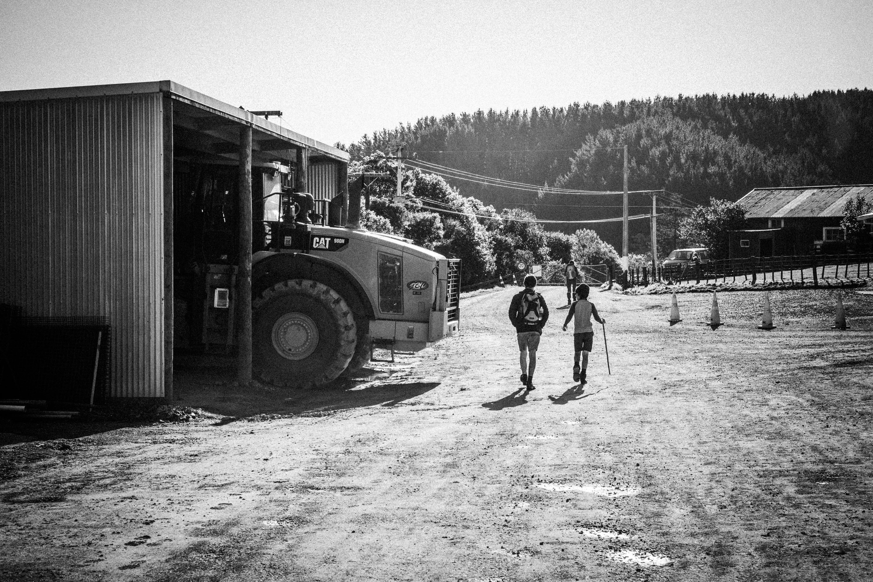
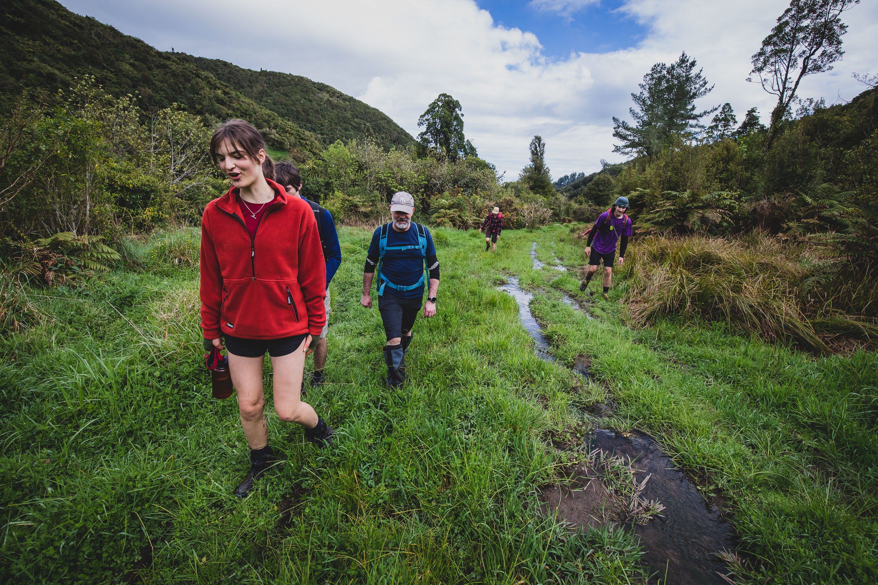
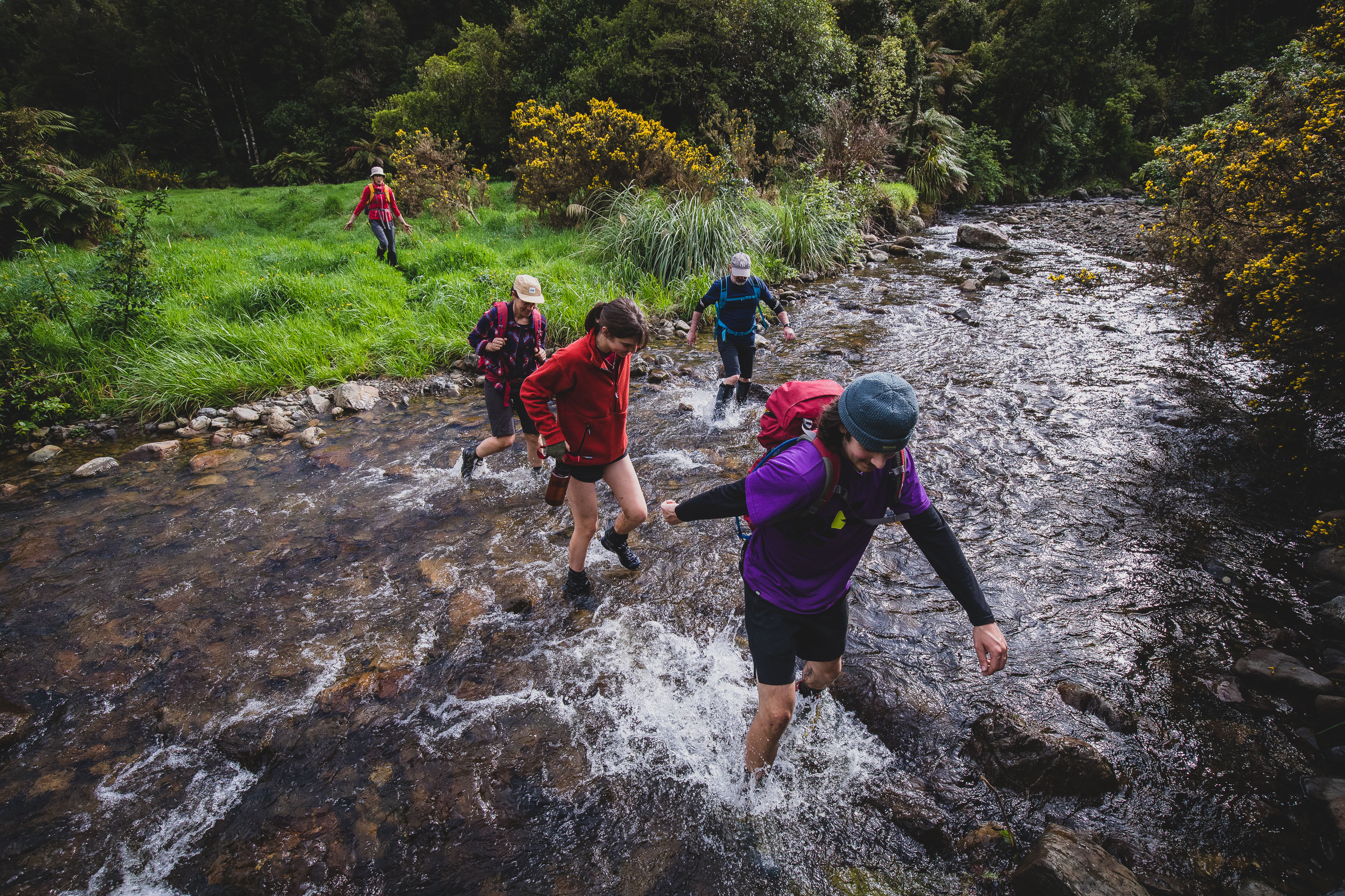
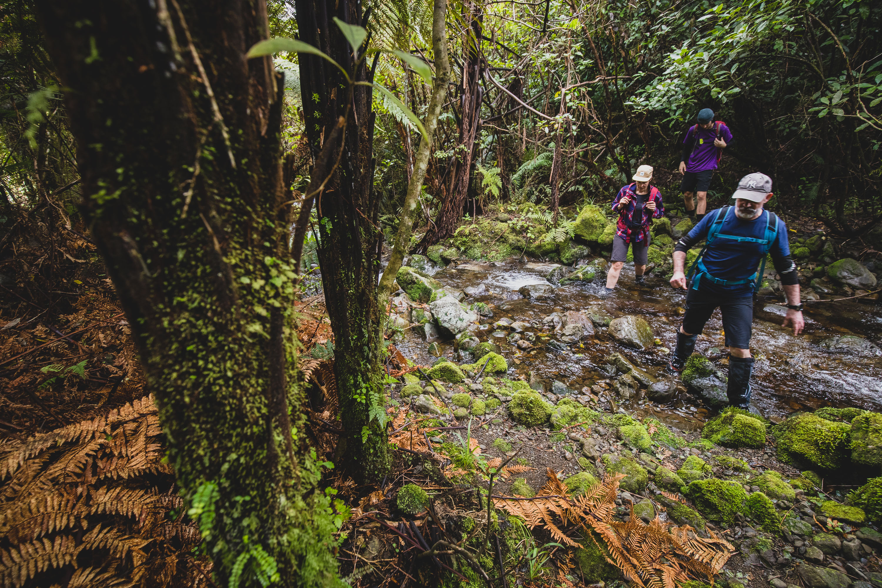
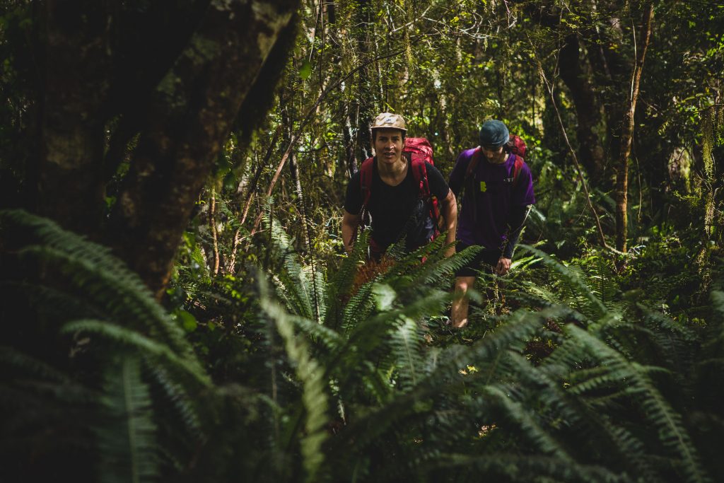
We parked up at the Red Shed outside the Waitohu Quarry and hit the track/road. The weeks leading up to our trip hadn’t exactly been dry. Max and I knew what was in store for the group in the valley, and we knew that the wet weather would have made the bogs a little larger. But the length and depth of the bogs was a total surprise to everyone else, any attempts at keeping feet dry or clean were abandoned almost instantly.
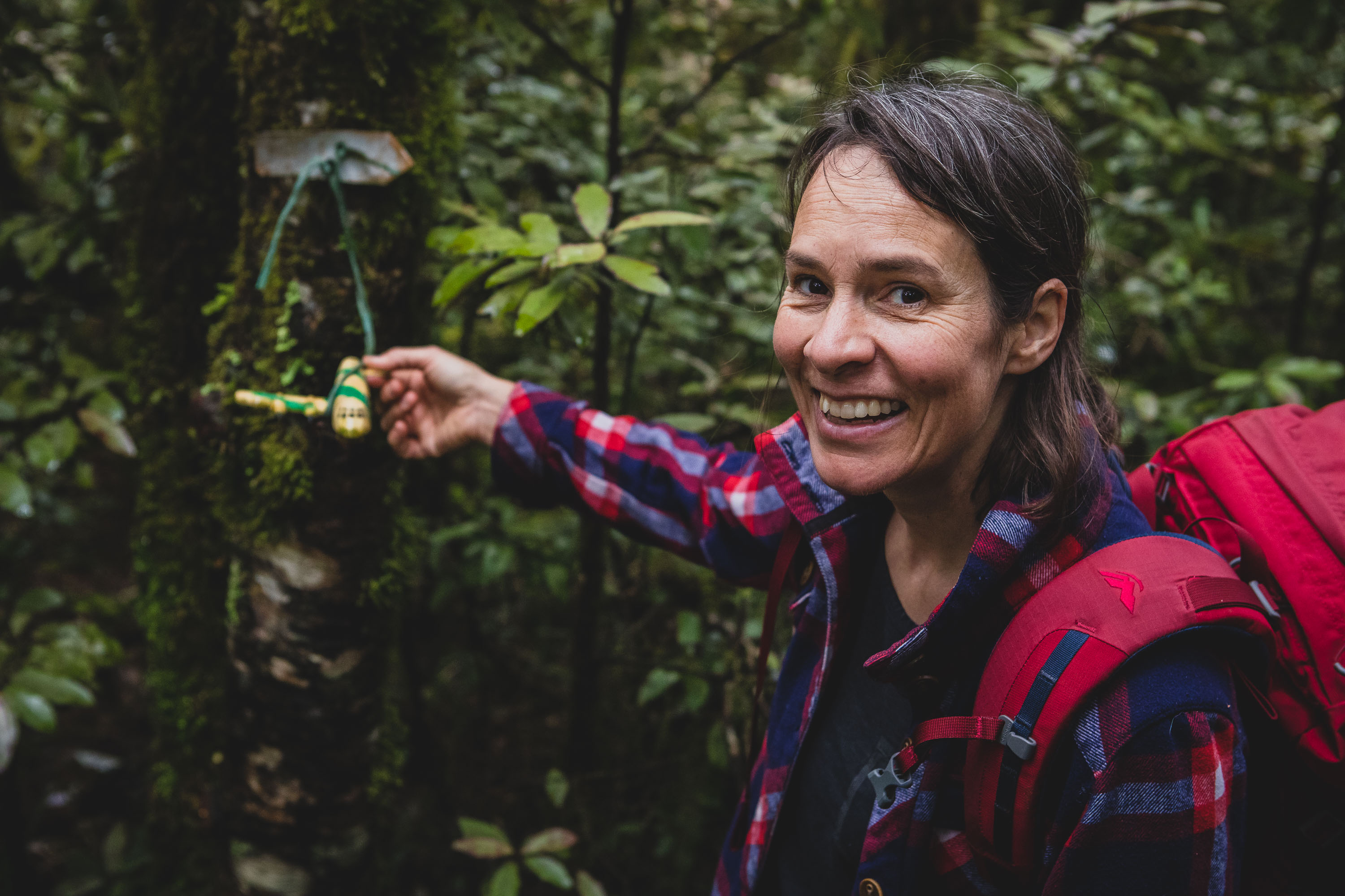
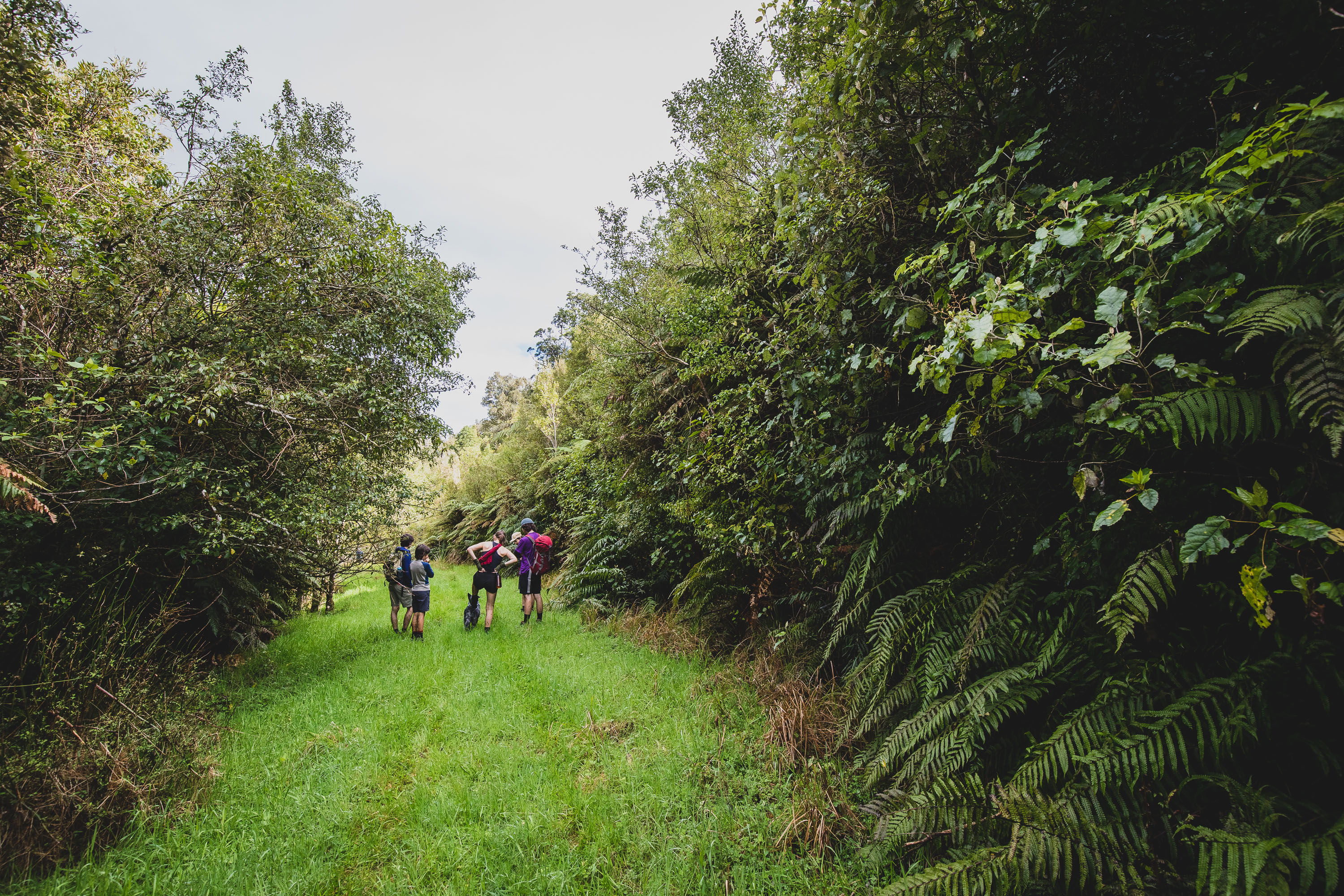
After a quick snack stop, we crossed the stream for the final time before hitting Micks Track proper. The recent rain turned the steep logging tracks into a battle to stay upright. Eliza and Hughan powered their way up to the singletrack leaving the rest of us playing catchup. Once the double-track narrows down you only have about 50 vertical meters of climbing to go before reaching •698 and the remnants of the wreckage that have been placed on the track.
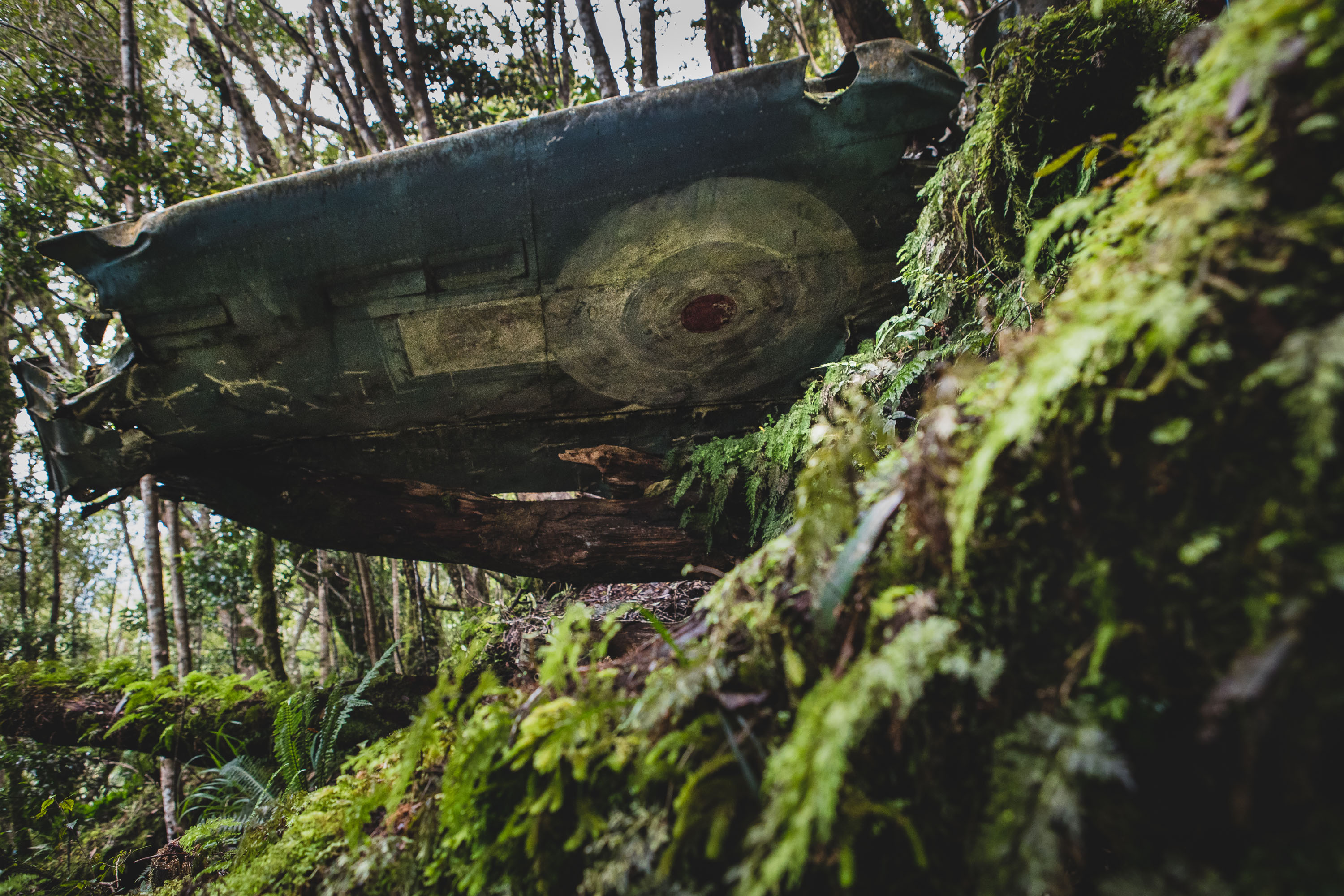
The remnants mark the point at which you should depart the track to begin your search for what’s left of the bomber. It was at this point that Max and I went wrong on our previous trip, dropping abruptly down from the track. This time though, armed with our new intel we knew to walk up the track from the wreckage and look for pink ribbon off to the right of the ridge. After about five minutes of searching, Scotty had located the ribbon, and 10 minutes later we’d spotted the large semi-intact wing! We were all ecstatic and poured down the hill to check it out and the other bits of wreckage strewn about.
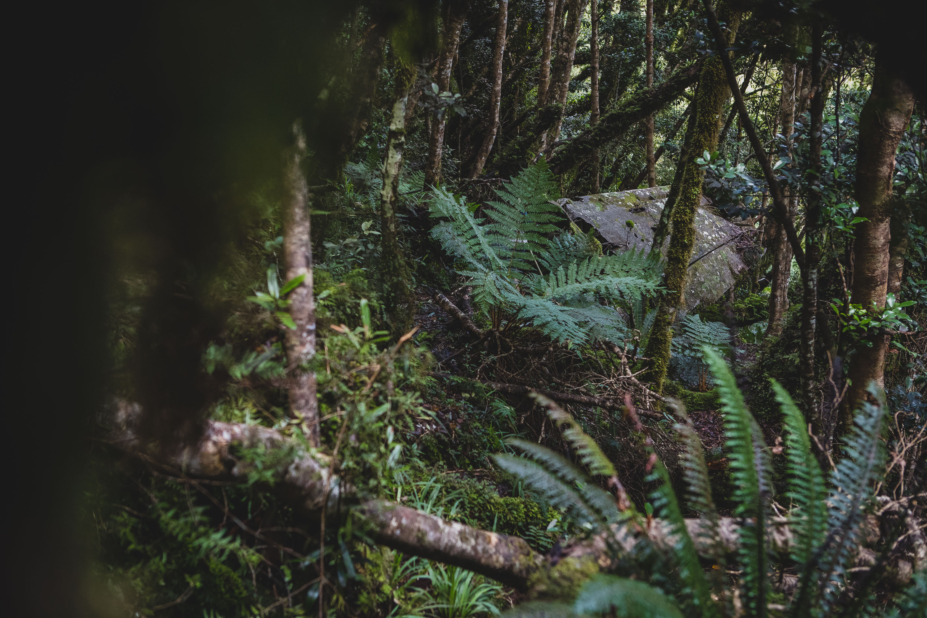
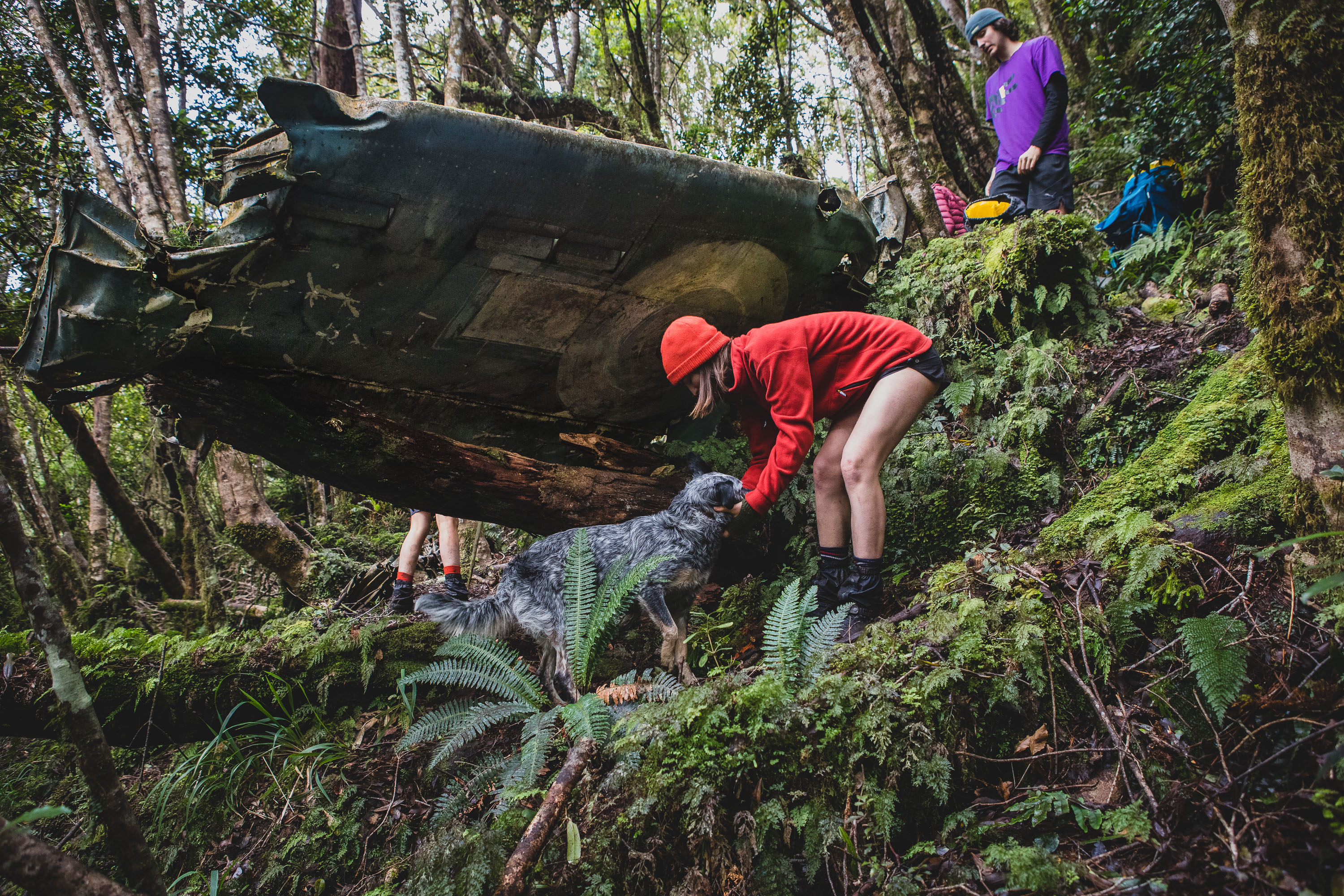
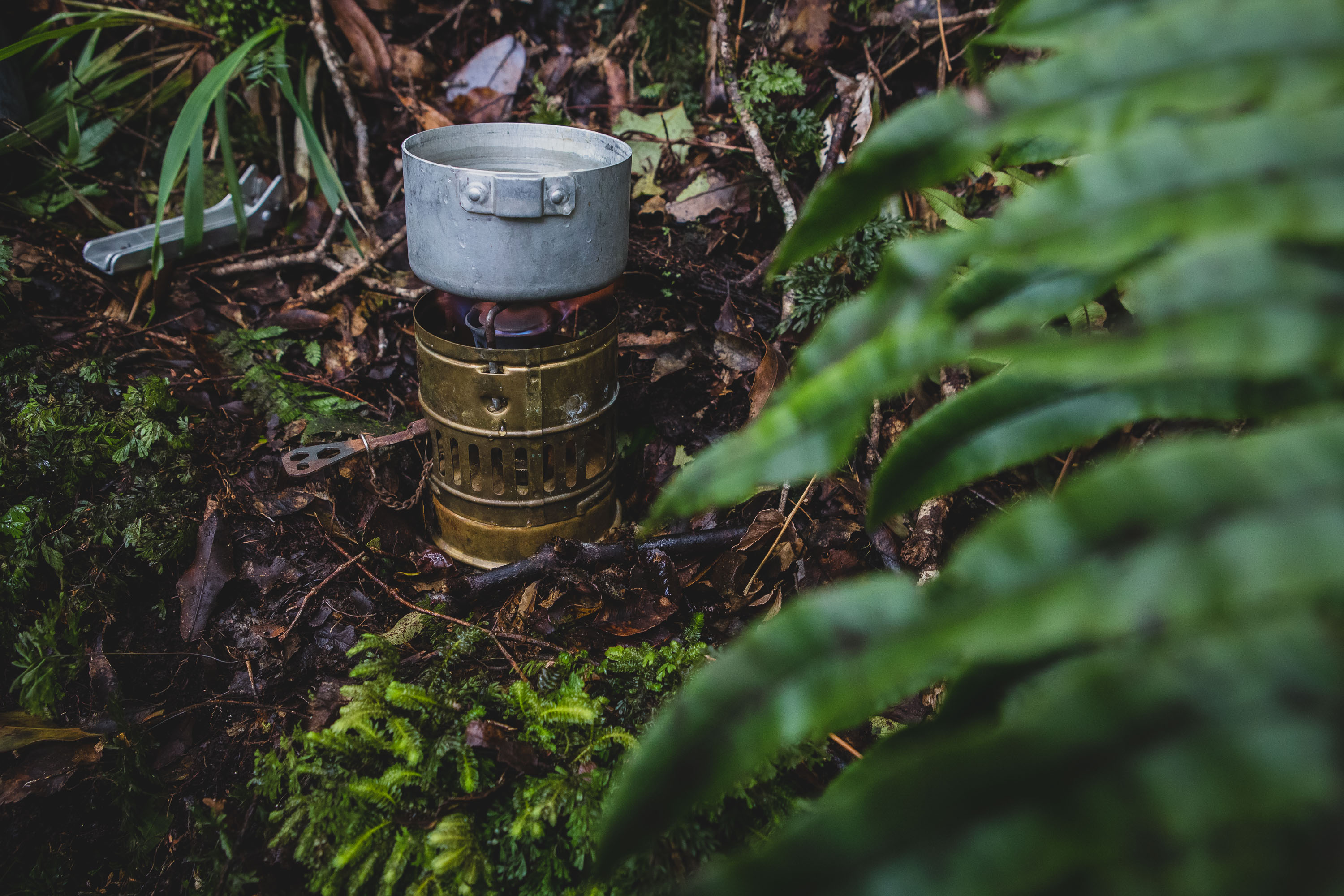
The temperature below the ridge had really dropped, so after arriving at the wing the puffers quickly came out as did my Dad’s old Svea 123 stove. Scotty went for a bit of a search for more pieces of the plane while the rest of us stuffed our faces with lunch and hot licorice tea. Its a pretty surreal spot to be with the half intact wing being the only real major part of the plane to survive all since the 1946 crash, even the painted RNZAF roundel is still visible on the underside of the wing.
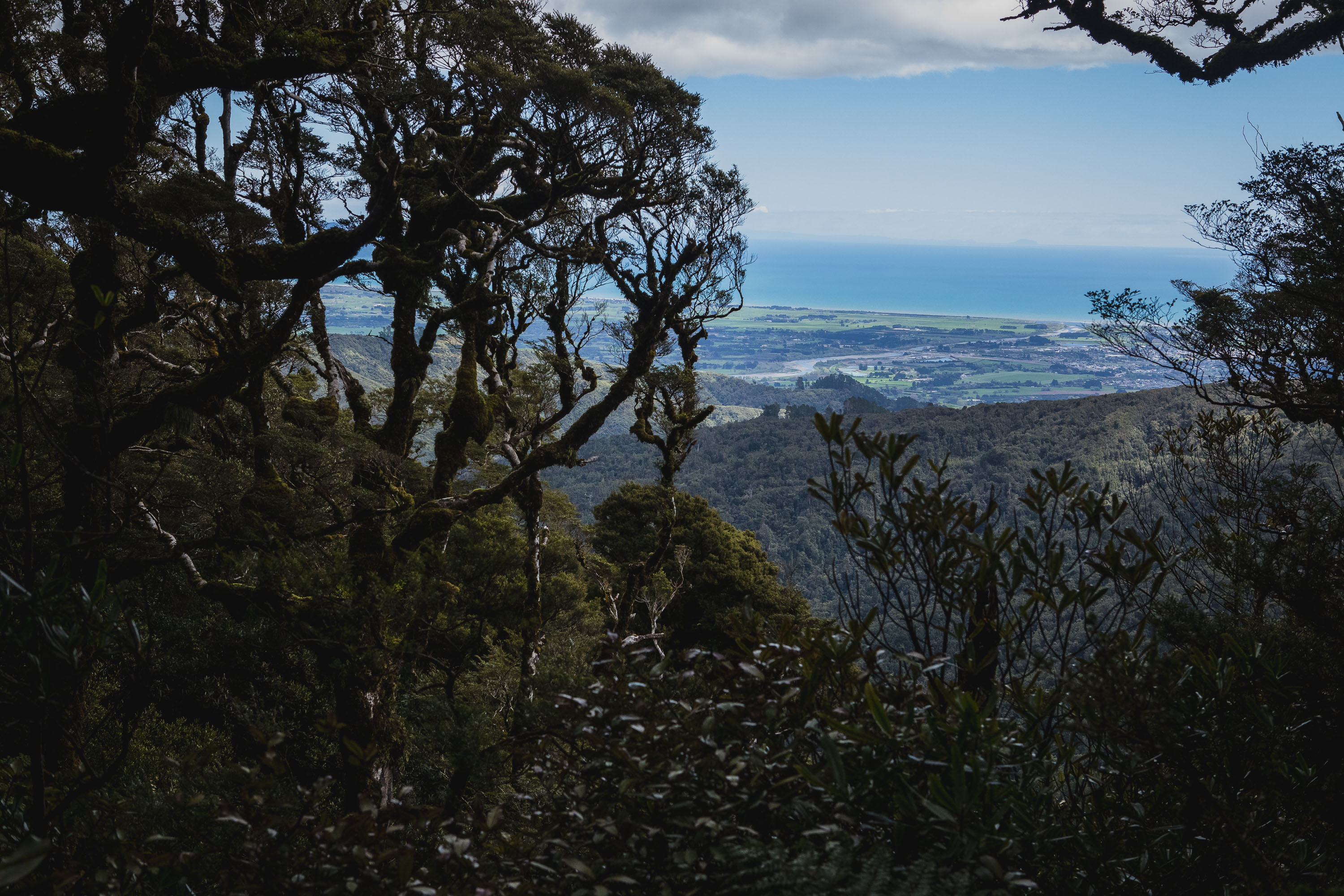
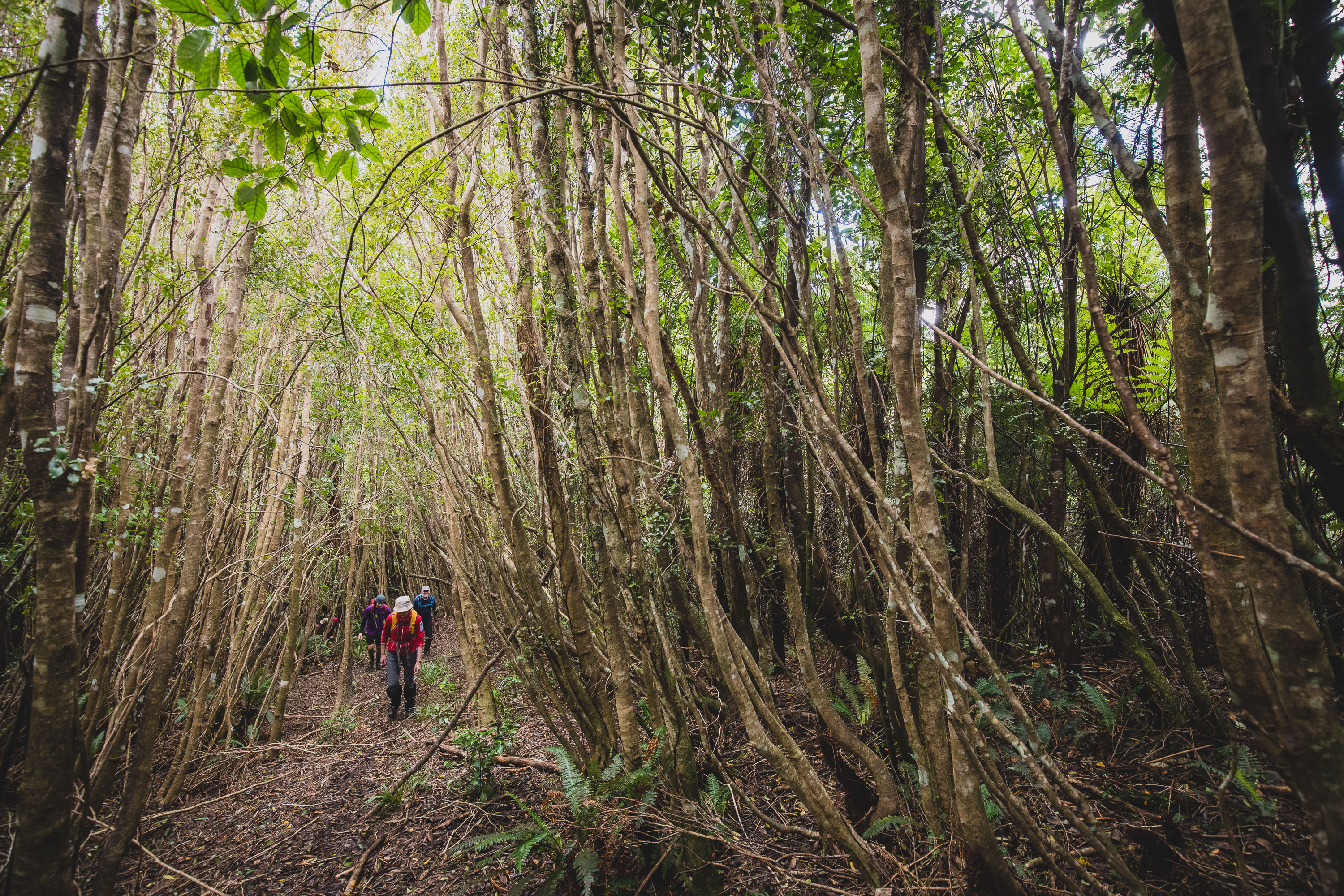
After checking out the crash site we made the quick trip back to Mick’s track and then began climbing. Our plan now was to get to •860 on the ridge and then loop back to the car. There are two options here, north to Thompson and down or south to Tangata Maunga and down. Reading a few trip blogs, it sounded like the route to Thompson, whilst a little longer was easier on the legs as well as being straightforward navigation-wise.
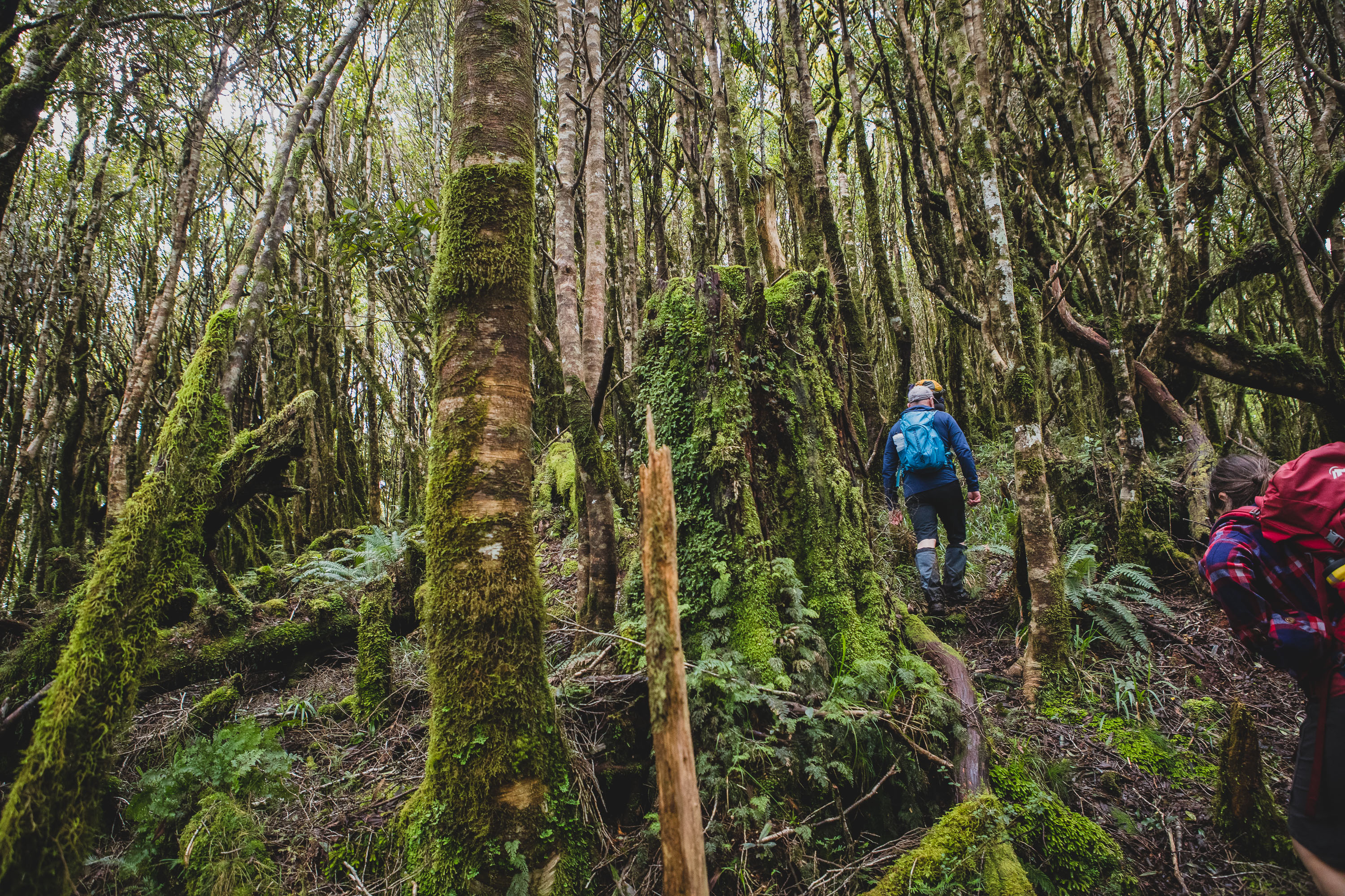
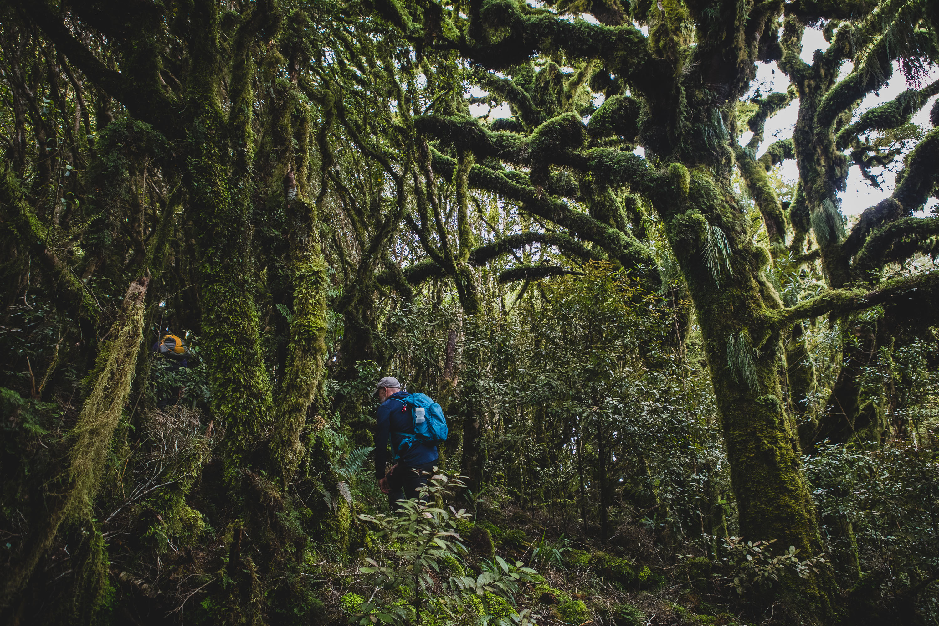
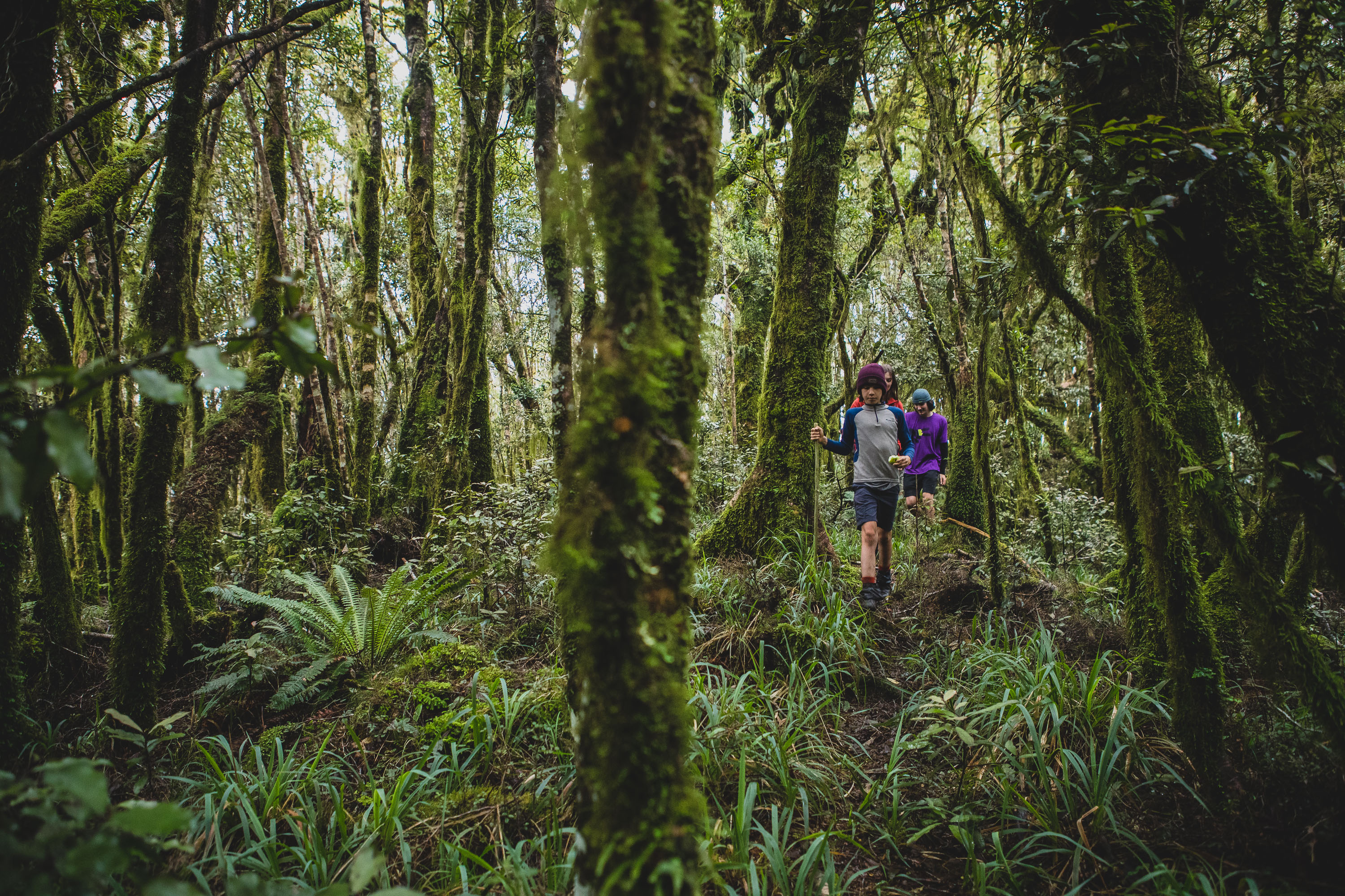
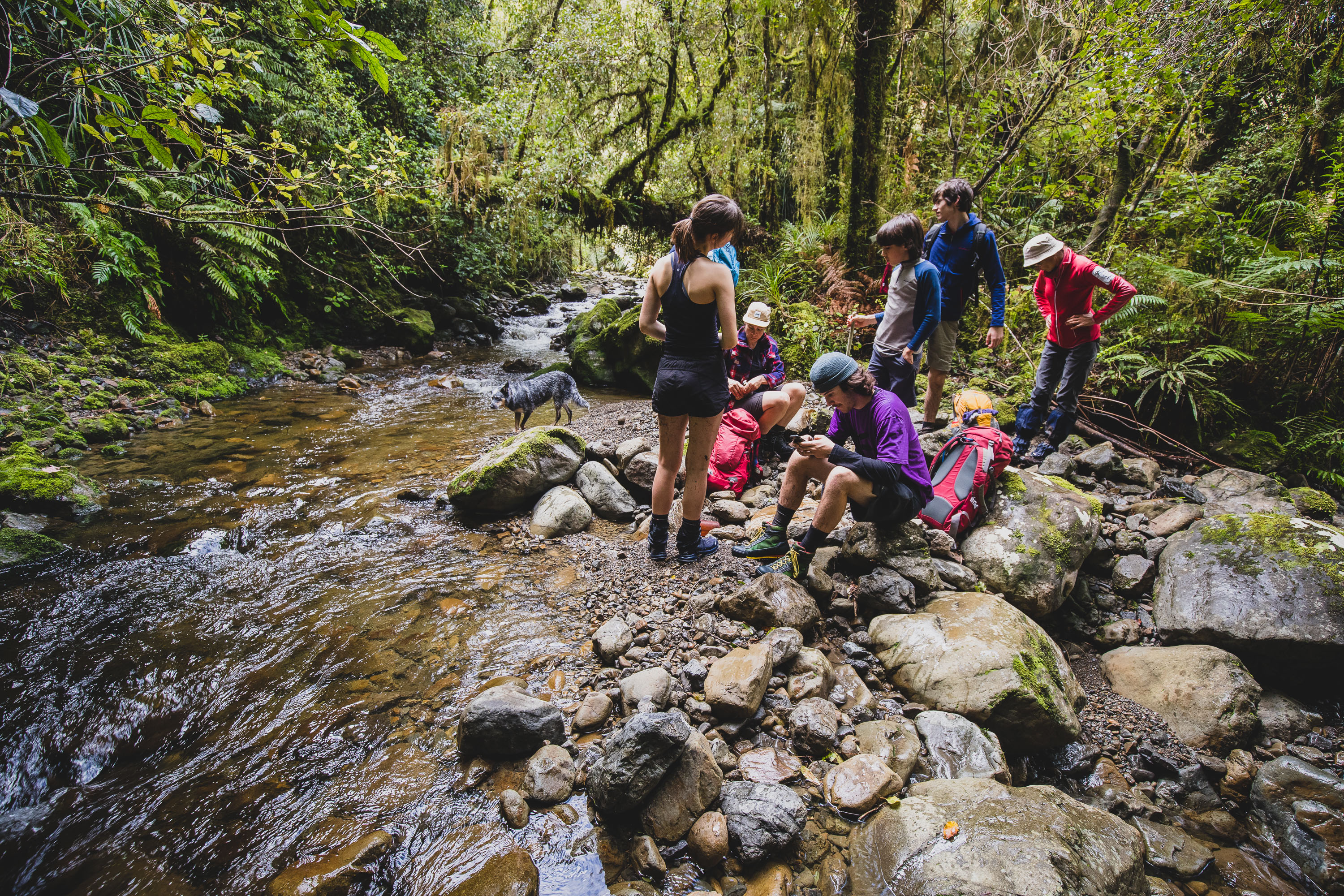
The 200m climb up to the ridge was though beautiful moss-covered Tararua bush, and it went by pretty quickly. In fact, all the kids dropped us, parents, rather quickly. After joining back together at the wingless plane the kids set off following the taped route, the ground trail disappears often as the route is clearly not walked that much, but you do need to pay attention to the tape on the wide flat ridge not to stray too far off track. We lost the route a few times due to windfall but between the eight of us we picked it up without any else. By the time you reach, •730 the single track disappears and you find yourself back on old logging roads. At the popular Thompson intersection, the route back down to the Waitohu Stream is very straightforward. It’s a well-worn four-wheel-drive track that leads you back to the main track up the valley that we had walked earlier in the day.